Category

Tourist destinations around Bangalore

Category

The Chikmagalur region of Karnataka is a treasure- I found this place to be the king of natural beauty, and it’s just 6 hours away from Bengaluru and closer to Mysuru. The main talk is about green stretches and exciting trekking trails. You can trek for three days or so and cover the whole region if the forest department permits. The post-monsoon view is a treat to the eye- whether it’s KR hills, Mullayanagiri or Bababudangiri. There are tea and coffee estates and many forests which make the trek worth it though you can reach all these three places by your vehicle too-but you still need your feet to talk a bit- anything for mother nature-right!

5 Reasons why you must visit Chikmagaluru:

  • Chikmagalur lies in the foothills of the Mullayanagiri Range at a height of 3400 feetknown for its vast range of hills,forested areas ,tranquility and huge coffee plantations.
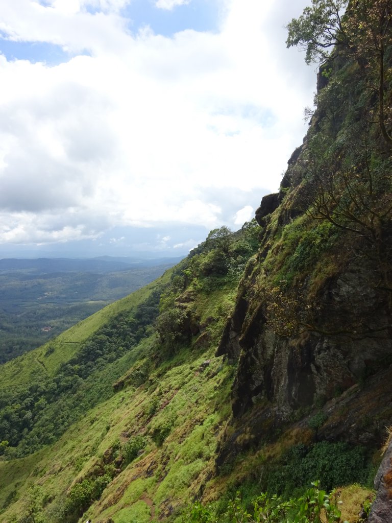
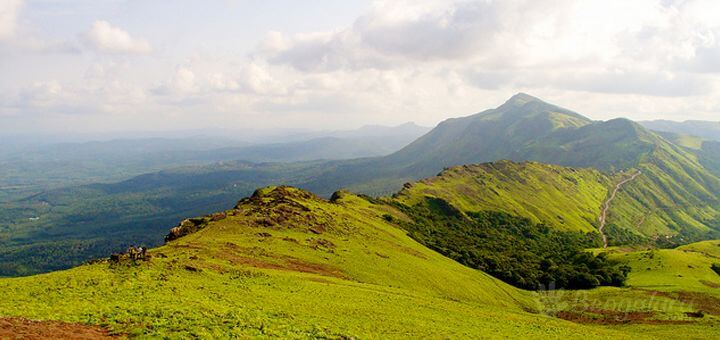
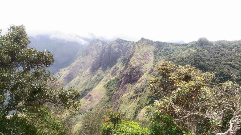
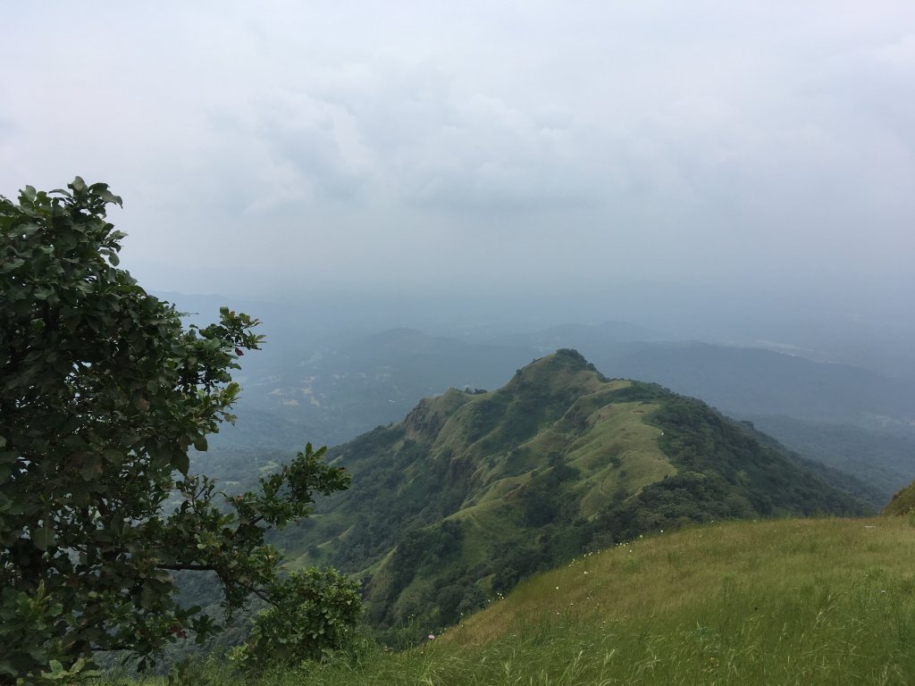
Views of Mullayanagiri Valleys
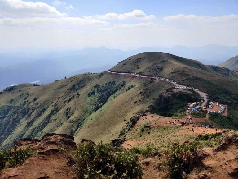
  • Kemmanagundi or KR hills has the highest peak of Karnataka, Mullayanagiri.This is around 2000 m in height and is a must trekking paradise for anyone who wants to get started as a trekker .Red soil and rains pose challenge to the trek. The view from top is just over the moon. There’s a Shiva Temple at the top as well.
  • Kemmanagundi has beautiful spots and must visit ones like Hebbe Falls, Z Point, Kalhatti Falls which are great visits just post-monsoon.
  • Baba Budangiri,the second-highest peak in the mountain range, is must visit for its picturesque hills and valley coupled with endless green meadows.
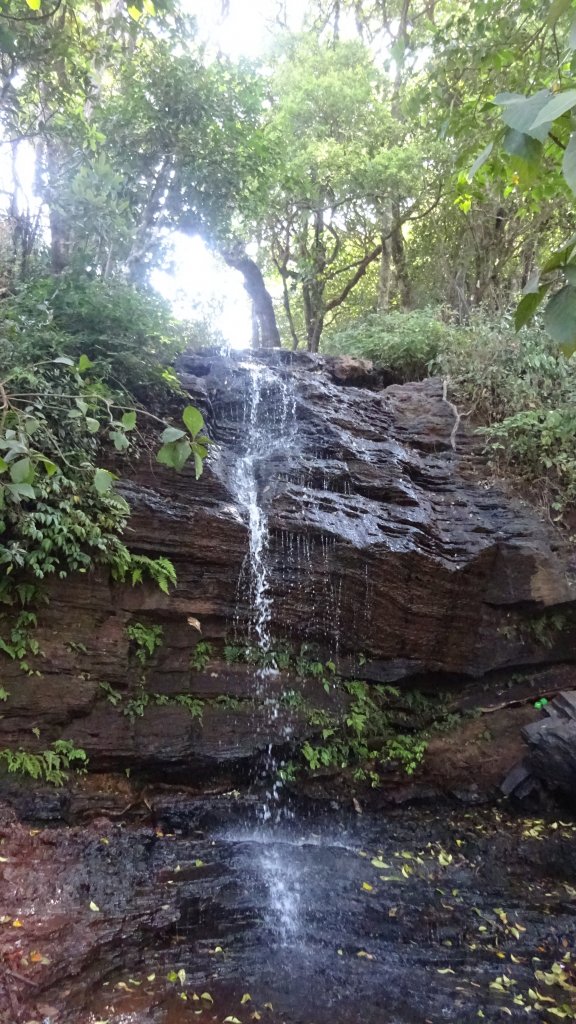
Shanthi Falls,KR hills
  • A protected area and Project Tiger area, the Bhadra Wildlife Sanctuary is one of the best tourist spots in Chikmagalur. The Sanctuary is located between the districts of Chikmagalur and Shimoga and is at approx 35 km from Chikmagalur. This is must visit to view the tigers as well as the Bhadra Reservoir.

Location  : Chikmagaluru is 250 kms west of Bengaluru.Mullayanagiri is about 20 km, Bababudangiri is around 30 km and Kemmanugundi or KR hills is 60 kms from Chikmanagaluru.
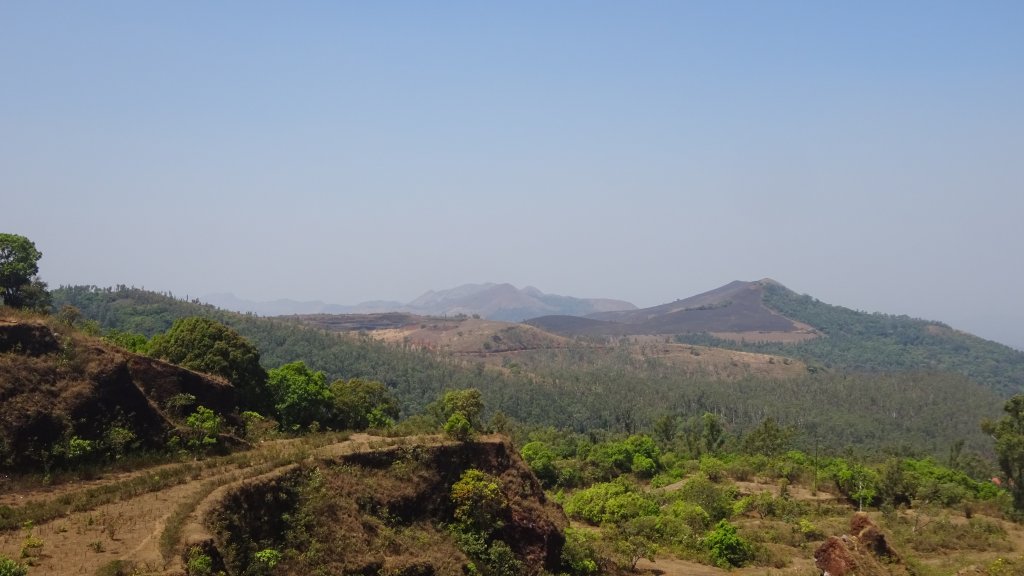
K.R. Hills,Kemmangundi

Tourist Attraction on the spot:

Mullayanagiri peak, Bababudangiri, KR hills : Shanthi Falls,Hebbe Falls, KR park, Z point, Kalhatti Falls

Tourist Attraction in Vicinity:

You can visit Jog Falls , Murudeshwar ,Udupi ,Gokarna,Coorg and Sringeri within 400 km range.
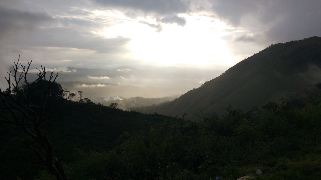
The glory of romantic sunset in a shy of drizzle

Distance Charts:(Chikmagaluru)

The deadblock trekked up wrong-Mullayangiri

How to Reach Chikmagaluru:

Road Routes:

Bengaluru-Hassan-Chikmagalur-Mullayanagiri-Bababudangiri-KR hills
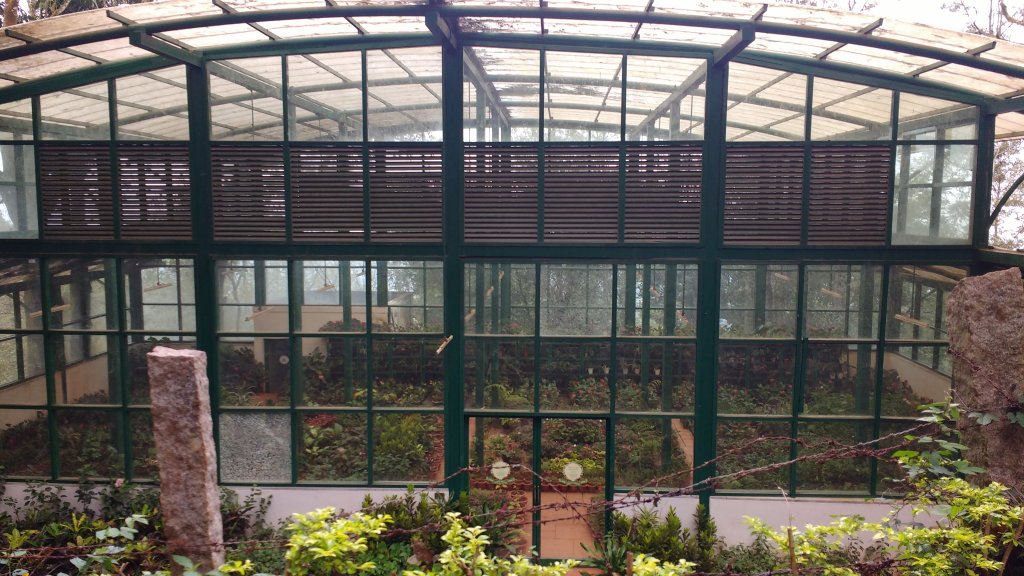
Greenhouse at KR hills

IMPORTANT NOTE FROM MY EXPERIENCE:

1)The late September to Early November is the suggested corridor to view these places in utmost greenery without facing much rainy spells-you don’t want to trek here in even drizzles.

2)Continuing on my first point , Mullayanagiri and all neighboring hills have that red soil which becomes damn slippery after even a drizzle-unless you are in proper boots-you are gonna fear slip roll and then anyhow manage to be at the top.It’s gonna make you think -no treks next time but we adventurous junkies are shameless-we’ll do trek but easier ones in right seasons next time!

3)Have snacks and water with you in a small bad and keep it light when you trek to any of these regions.Have a mini umbrella with you all times-either to get away from sun or from downpour.

4)Bababudangiri has a waterfall coupled with amazing views far and wide-local buses is only way to be here but ,it’s worth it. Green pastures with lots of tea plantations with a trail going to Kudremukh down the line is what you see!
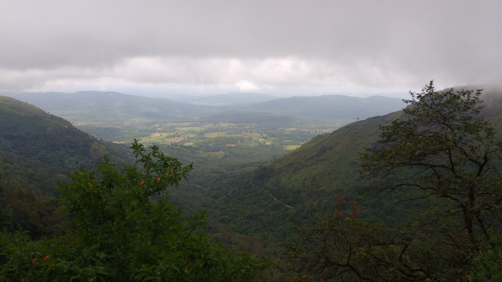
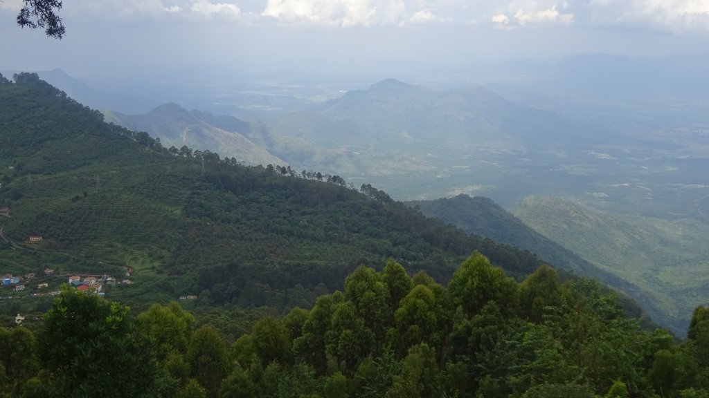
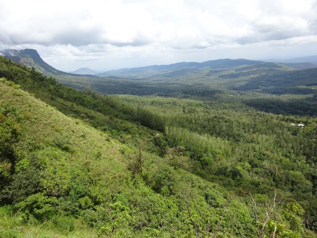
The plains from KR hills

RAIL:Chikmagaluru has a railway station of its own but trains are pretty few.Hassan will be a better stop from where you can catch a state bus.

AIR: Hassan/Mysuru/Bengaluru are some airports close to Chikmagalur.

ROAD: A road from Bengaluru runs straight through Hassan to Chikmagalur on a smooth metaled road,But,the road to Mullayanagiri or KR hills is not smooth, quite rough with lots of patches-maybe because half the year it rains here!KSRTC offers good bus services upto KR hills.

Map:
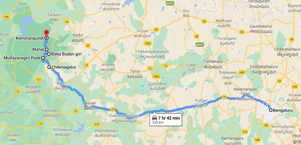
Bengaluru-Hassan-Chikmagalur-Mullayanagiri-Bababudangiri-KR hills road rourte Map

Time to Visit:

September to January is a good time visit these places.
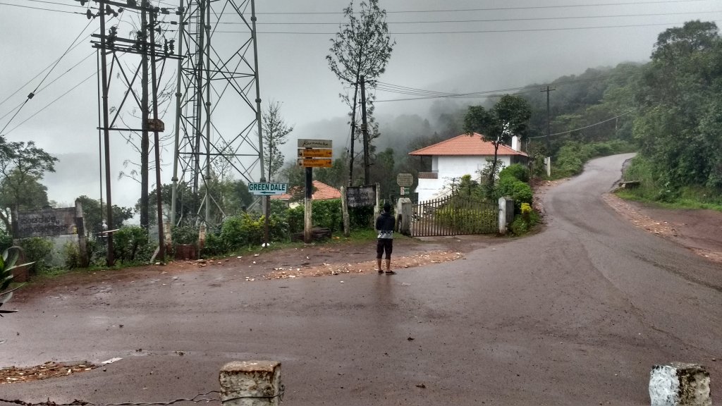
The peak of Mullayangiri is  3 kms uphill
The peak of Mullayangiri is 3 kms uphill

Spend Time With:

Friends,Groups,Solo,Couple,Family(if used to hilly roads)

Food and Lodging:

Hotels are not there at Bababudangiri or Mullayanagiri but you’ll find some resort or government guest house in KR hills. Chikmagalur is cheap and best for hotels for these places.And have snacks and plenty of water for all these places as there are hardly any shops as such except maybe at peak and KR hills. Chikmagalur has restaurants with local food-shall not be an issue.

Expense:

A 2 day trip to these places cost(only if buses follow your time patterns):
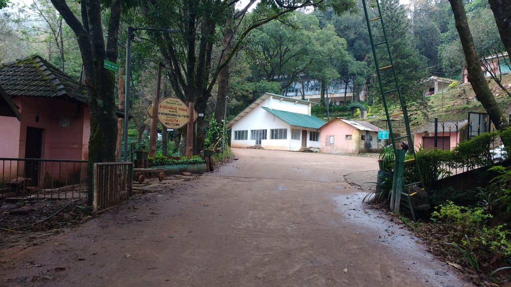
The gateway to Z-point,KR hills


Food:INR 80/person/day(3 times a day)X2
Transport: Private bus will cost some 150 bucks to Mullyanagiri trek base point and Bababudangiri to and fro. For KR hills ,there’s state as well as private buses costing about 120 INR to and fro(In case you book a car to Mullayanagiri to and fro,that can cost you around INR 2500)
Lodging:INR 700/day X1(one night stay at Chikmagalur)
Entry Fees :Zero
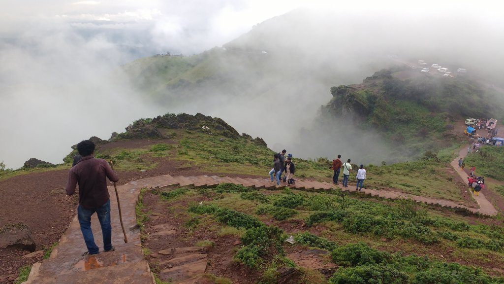
The stairs to foothills of Mullayanagiri

Total: 1450 INR(INR 3900 if you book a car for Mullayangiri)
Nearby Attractions(Chikmagalur)

Bababudangiri
Bababudangiri

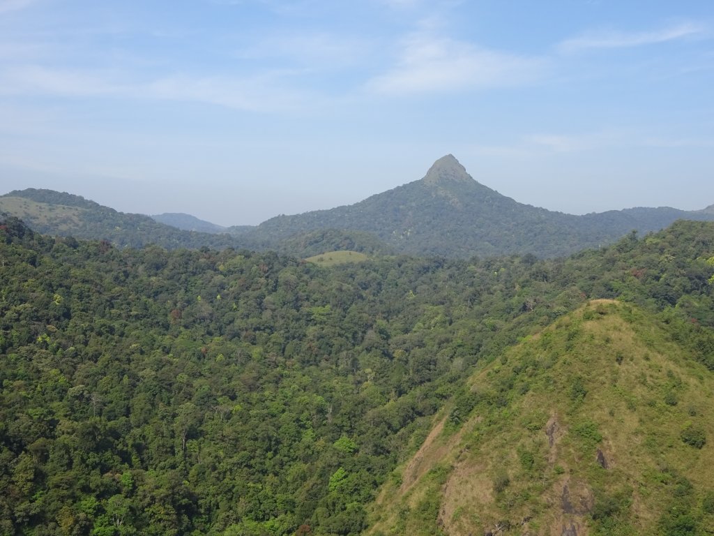
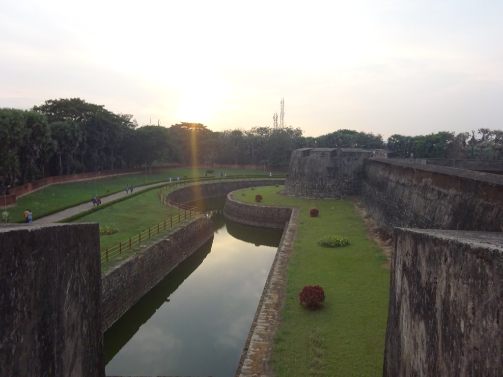
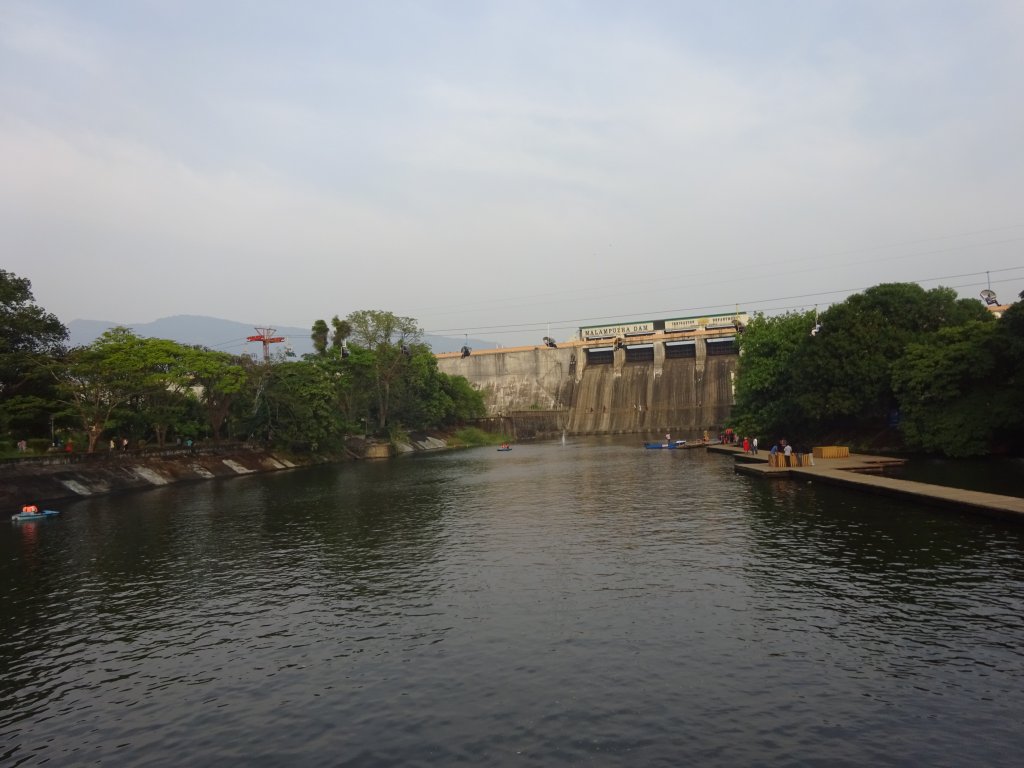
This trip is the most memorable one for me as it provides an absolute treat to the eyes. You get a complete view of Western Ghats from two states—Tamil Nadu and Kerala. The highway is a remote hill station hardly visited in Tamil Nadu, is a perfect picnic spot, and offers excellent views. The whole journey from Valparai to Chalakudy-Athirapally in Kerala is simply astounding-simply remarkable, with a stream following all the way. The Athirapally is a hidden gem-the water flow will be wonderful to see if you come in September-I went there in November-still, great! This road takes us to Thrissur and Guruvayur, where you can get a darshan of Shree Krishna. Palghat is not far from Guruvayur, and Silent Valley is a few yards away. Silent Valley is a beautiful national park and cheap on a shared Jeep tour; your trip becomes complete when you see many mountains around you, green against dazzling blues, with a stream of happiness. Palghat has the Malampuzha dam and a majestic fort to witness.

Reasons why you must visit Valaparai, Highways, Silent Valley, Athirapally and Guruvayur:

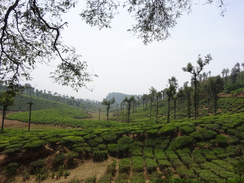
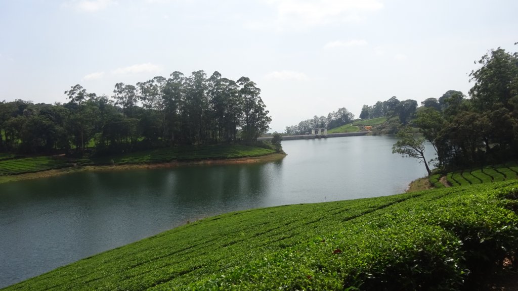
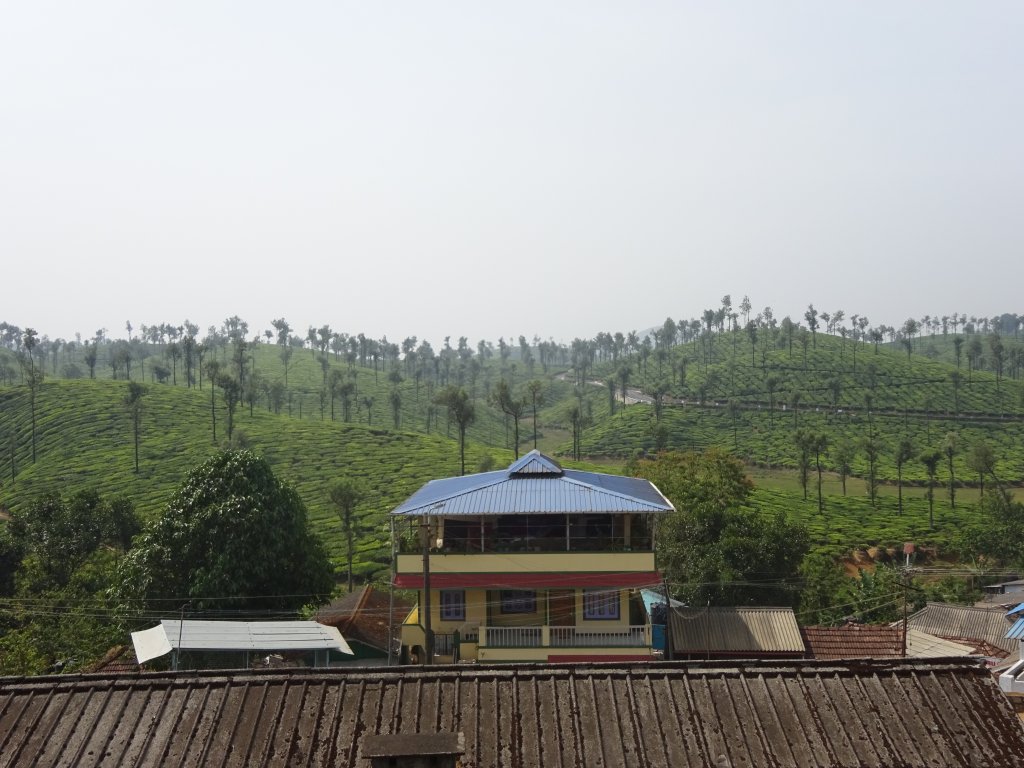
  • Valparai is famous for its tea plantations; you see the green view everywhere. Because of that, it’s pretty remote yet well connected by buses- a sure-to-go picnic spot and a few days of vacation!
Highways is an amazing hill station near Madurai or Kumily
  • Valparai and Highways are cool hill stations with a moderate temperature throughout the year, very ideal spot to be, away from lots of tourist crowds that we find in Ooty or Kodaikanal.
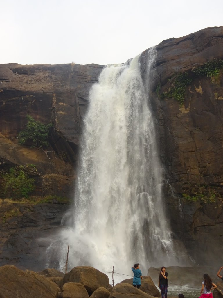
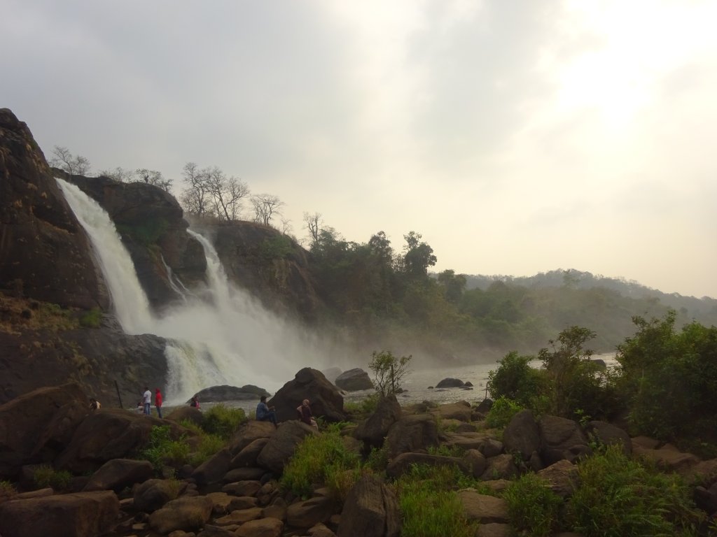
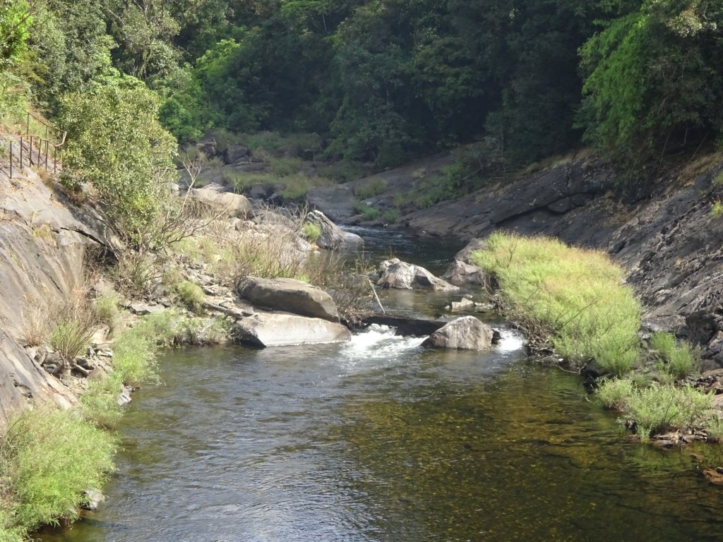
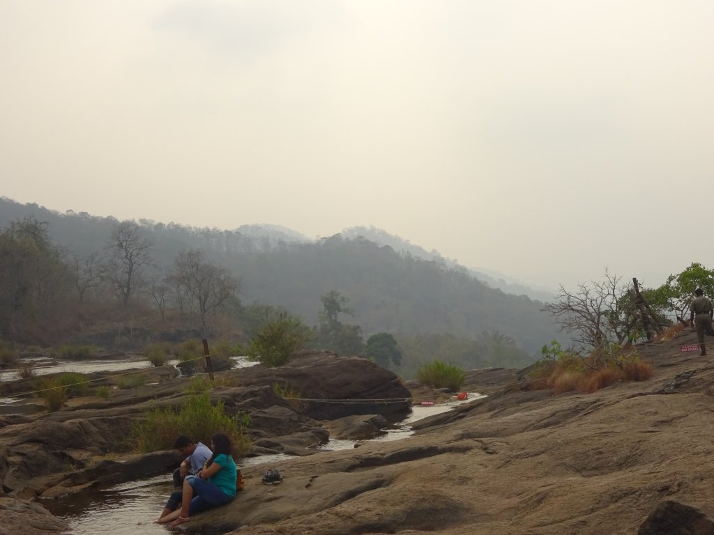
  • Athirapally falls quite close to Valparai on the way to Thrissur. It’s tall and magnificent, with several falls at the bottom. At the top, you can relax along the riverside, and it feels soothing at sunset watching the crystal clear water transform into falls.
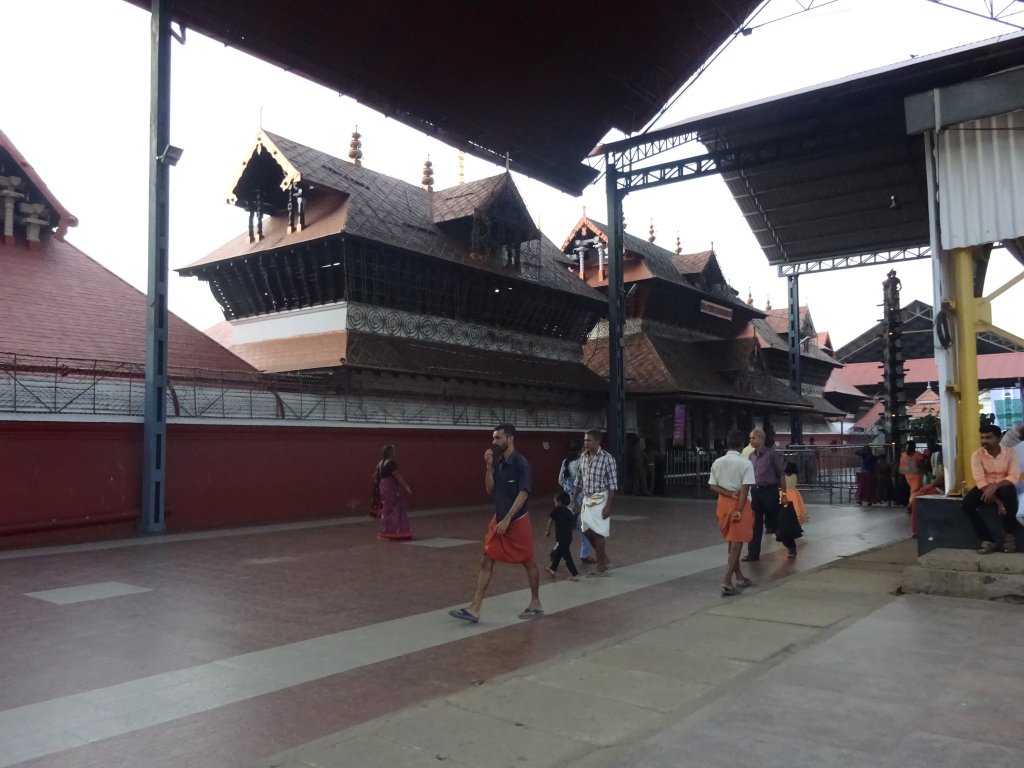
Guruvayur Temple
Guruvayur Temple
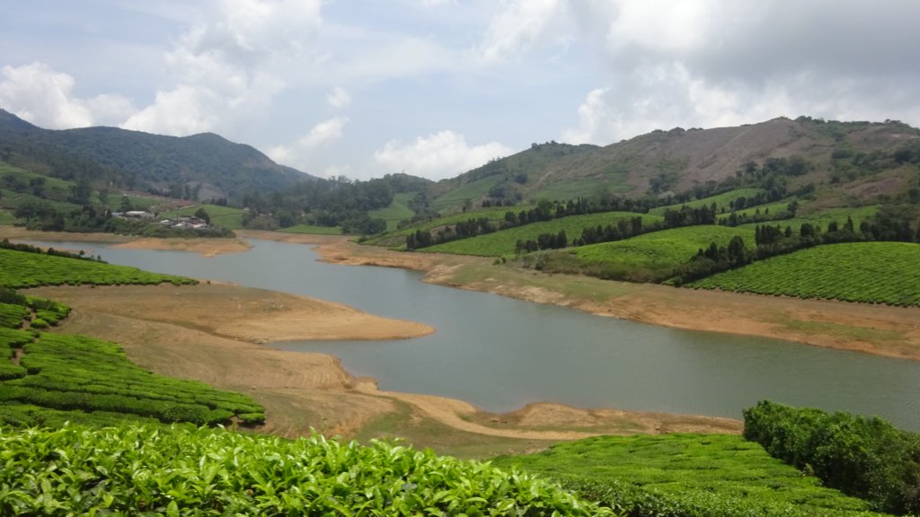
  • Highways are another hill station in Tamil Nadu for peace-lovers and nature-lovers too! The main highlight is the lake with greenery around it—the temperature is mild even in May, and June—that’s a sweet spot!
  • Located in the Palakkad district of KeralaSilent Valley National park gives a panoramic view of Nilgiris and the Biosphere Reserve. An Old World Monkey, a small Indian civet, and dhole are a few fauna species unique to this area.

Location: Valparai, Highways, Silent Valley and Athirapally Falls are 500 km south of Bengaluru, and Gu

Valparai falls on opposite side of Highways  through Munnar
Valparai falls on opposite side of Highways through Munnar

Tourist Attraction on the spot:

Vazhachal Falls, Valparai Hill station, Guruvayur(near Thrissur), Highways hill station, Kanjirapuzha Dam, Virgin Valley, Top tower View, Malapuzha dam, Palakkad fort, Guruvayur temple

Tourist Attraction in Vicinity:

You can visit these places: CochinMunnarKodaikanal, Alappuzha, Ooty and Madurai.

Athirappilly Falls,Chalakudy

Distance Charts:(Highways | Guruvayur)

Athirappilly falls from another angle

How to Reach Valaparai, Highways,Silent Valley, Athirapally and Guruvayur:

Road Routes:

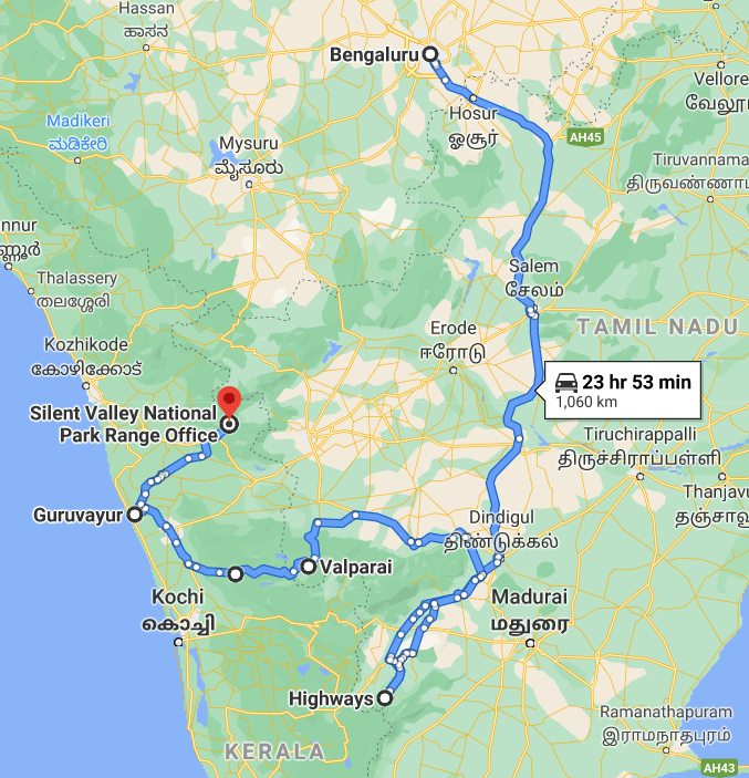
Bengaluru-Salem-Dindigul-Highways-Valaparai-Athirapally Falls-Guruvayur-Silent Valley National Park

The Silent Valley offers views of Western ghats

An important note from my experience:

1) To see caves and national parks, avoid the rainy season, come here after September month.

2)If forests, greenery, and waterfalls are what you prefer, drop in July to September. You’ll love the greenery of paddy fields and dense forests.

3)Carry snacks and water with you as shops on the roads are few, and it takes time to reach another city.

4)Carefully study the news and the situation before arriving here. Otherwise, you can be in real trouble. Watch the news for yourself, and you’ll get to know the region’s sensitivity. Not making you fear, though!

5)Araku Valley is something you can easily cover by adding a day extra, and it’s worth it-its the best hill station of Eastern ghats in India-fact!

6)Booking a car is way better than public transport, but come in a group; solo travel is not for the faint-hearted and, God’s sake, avoid venturing into forests; stay within city limits!

Palghat Fort, Palakkad

RAIL: Dindigul would be close to Highways and Valparai, whereas Palghat for Silent Valley and Guruvayur/Thrissur for Athirapally Falls.

AIR: Madurai/Cochin are the nearest airports.

ROAD: Mostly, the roads will be hilly from Dindigul onwards. AND TNSTC bus services with Kerala SRTC make the journey all pleasant! However, there are a few bad patches on the way to Palghat/ Valparai section.

Map:

Bengaluru-Highways-Valaparai-Athirapally Falls-Guruvayur-Silent Valley Road route map

Time to Visit:

September to March is a good time at these places.

Malampuzha Dam,Palghat

Spend Time With:

Friends,Groups,Solo,Couple

Food and Lodging:

Except for Guruvayur, other places have pretty few hotels and lodging facilities. You can try using Goibibo, Makemytrip, or Yatra websites for more options. For Highways, you should reach there, spend a few hours and stay the night at Dindigul; the next day, you can start early, visit Valparaiso, Athirapally and Guruvayur on the same day and rest the night at Guruvayur and leave for Palakkad on next day early morning. Try reaching Silent Valley by 9-10 am and wrap it by the third day. For food, in most places, it’s good to have water and snacks at most places, but if you run out of them, your best can be Valparai or Guruvayur to refill the stock.

Expense:

A 3 day trip to these tourist places will cost:

Highways is damn romantic


Food: INR 100/person/day(3 times a day)X3

Transport: All places can easily be covered by state and private buses. And from Dindigul to Silent Valley, the charges will be around INR 1000.

Lodging: INR 700/day X2 (1 night at Dindigul and next night at Guruvayur/Palakkad)

Entry Fees: INR 400 for Silent Valley entry fees and gipsy shared tour. Rest places are accessible.

Another view of Valparai

Total: 3700 INR

Another view of Valparai

Total: 3700 INR

Nearby Attractions(Highways | Guruvayur)

The Silent Valley Vibes
Chalakkudy Times
Chalakkudy Times

8 reasons why you must visit Kodaikanal:

  • Kodaikanal is known for tourist spots like Dolphin’s Nose, Coakers Walk, Byrant’s Park, Green Valley View, Bear Shola Falls, Silver Cascade falls,etc.-each, and every place is worth a watch!
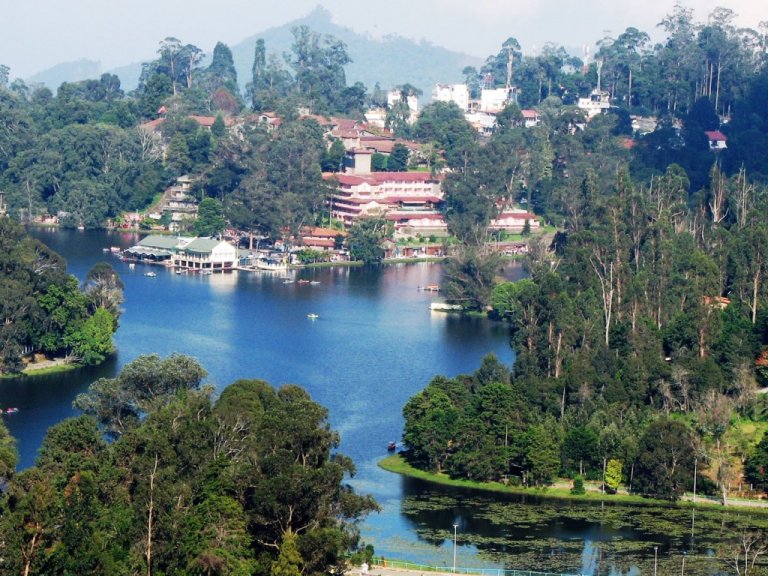
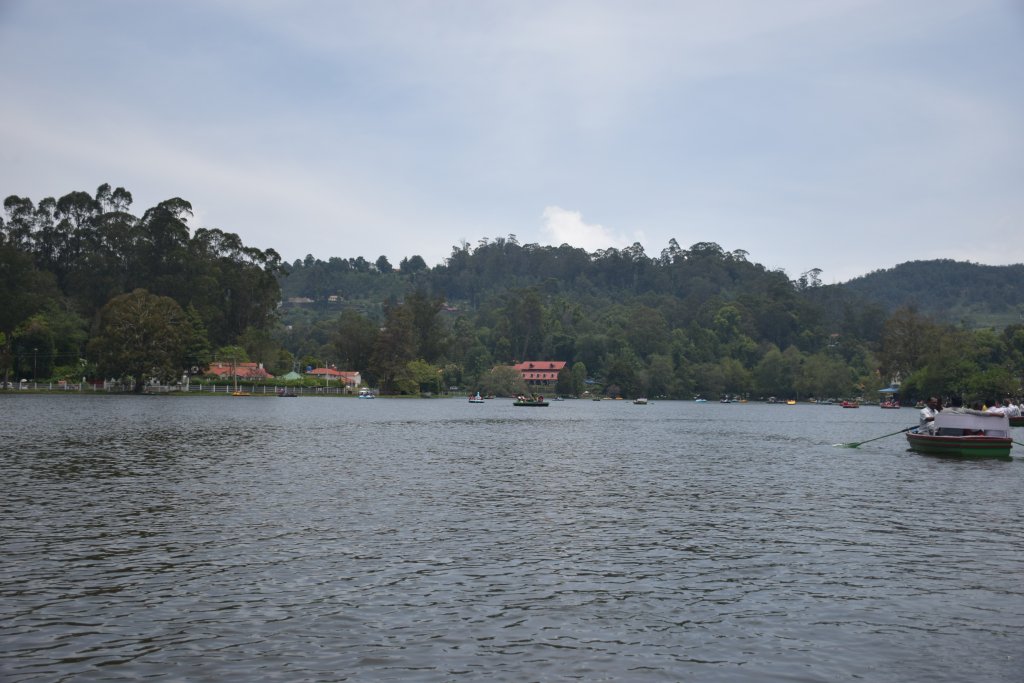
Lake View Point,Kodaikanal
  • Kodai Lake is a prime attraction. It is a star-shaped 4 km in circumference. You can enjoy a relaxing boat ride with your friends and family, gazing at the greenery and hills. You can also visit the beautiful Berijam Lake, a freshwater reservoir.
  • 6 km from Kodaikanal is Vattakanal which is known for tranquility and peace. There’s a little crowd, and hence, you need to have a private vehicle to get there.
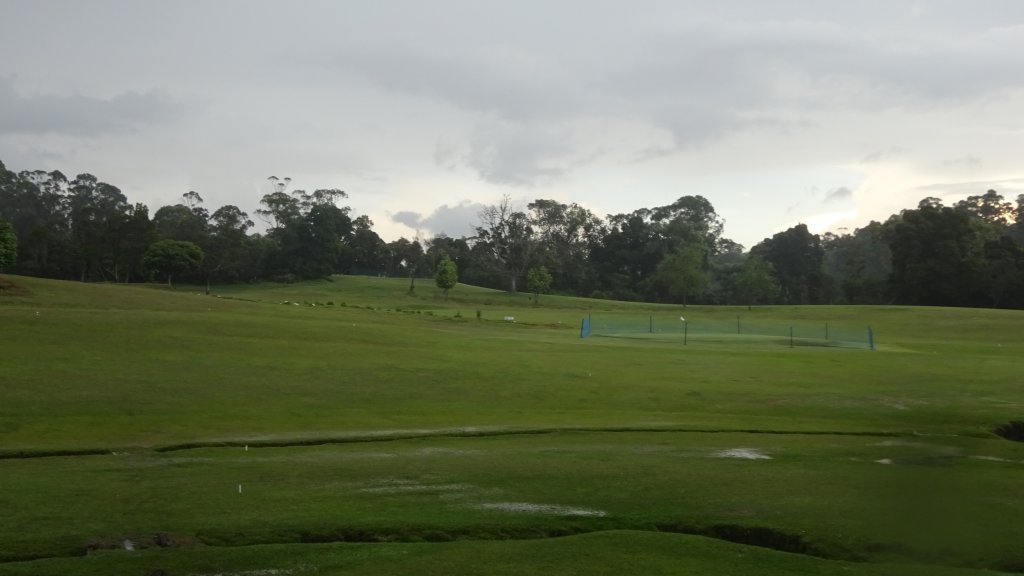
Golf Course in Kodaikanal
  • Dolphin’s Point offers a clear view of lush green valleys and hills and is a mere 15-20 min hike from the main road. It’s a must-visit place!
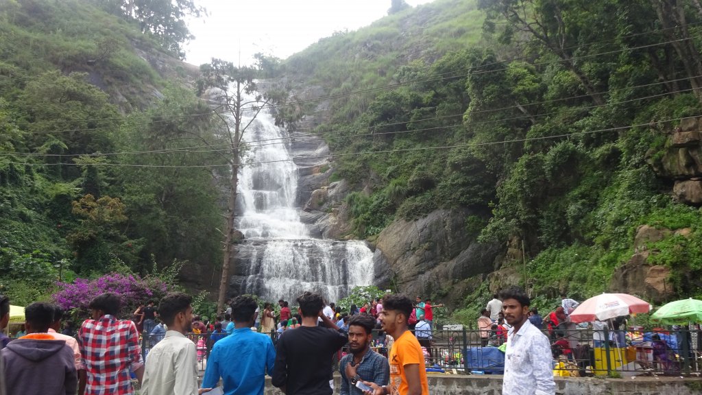
  • During the monsoons, waterfalls like Fairy Falls, Silver Cascade, and Bear Shola Falls have water in full force enough to enjoy the vacations.
  • Kodaikanal is also famous for its variety of chocolates and spices. Trust me, the taste of chocolates here are superior to that of renowned brand chocolates. They are authentic, delicious, and less sugary.
  •  Bryant Park is an excellent 20-acre park to visit, lying east of the lake. It’s vast and can be a great picnic spot with family and friends.
  •  Pine Forests are worth visiting south of Kodaikanal, where you can get yourself clicked amidst pine trees.

Location  : Kodaikanal is about 500 kms south of Bengaluru, as well a Chennai.

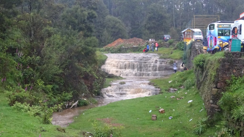
Silver Cascade Falls,Kodainkanal
Silver Cascade Falls, Kodainkanal

Tourist Attraction on the spot:

Kodaikanal Lake, Coaker’s Walk, Bryant Park, Silver Cassade Falls, Pine Forest, Vattakanal Falls, Upper Lake View, chettiar Park, Silent Valley View, Dolphin Nose.

Tourist Attraction in Vicinity:

You can visit Madurai, Munnar, Thekaddy, Meghamalai, and HighWays hill stations.

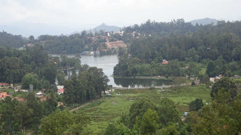
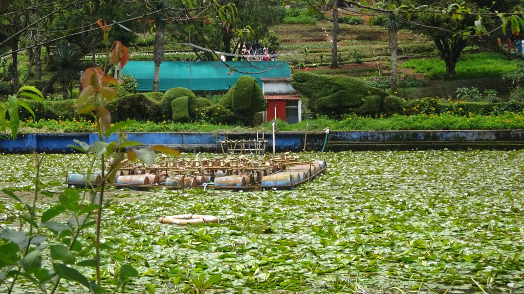
Kodaikanal Lake
Kodaikanal Lake

Distance Charts:(Kodaikanal)

Suicide Point,Kodaikanal

How to Reach Kodaikanal:

Road Routes:

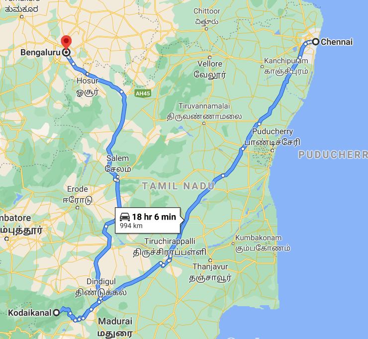
Bengaluru/Chennai-Salem-Dindigul-Kodaikanal

Kodaikanal overcast
Kodaikanal overcast

IMPORTANT NOTE FROM MY EXPERIENCE:

1)Kodainkanal, if avoided in peak season, is better-first there’s a hotel search problem, and second it’s too crowded to enter the city-like you see 2-3 km traffic lines in summers!

2)Even in peak season, you do find hotels, but bumped-up prices are with what you lodge in!

3)For some tourist spots, you might need a private vehicle. Public transport seems to be there, but the timings must be checked. If you have 2-3 days in hand, public transport and walking can help cover many places.

4)Kodaikanal shall be avoided between June and September, when it rains and pours heavily. Hill stations are not a great place to be in the rainy season, attributed of landslides and traffic.

5)Beware of private taxi tour packages; get help from locals before you negotiate. The current prices must be known before jumping in for a private booking and sightseeing!

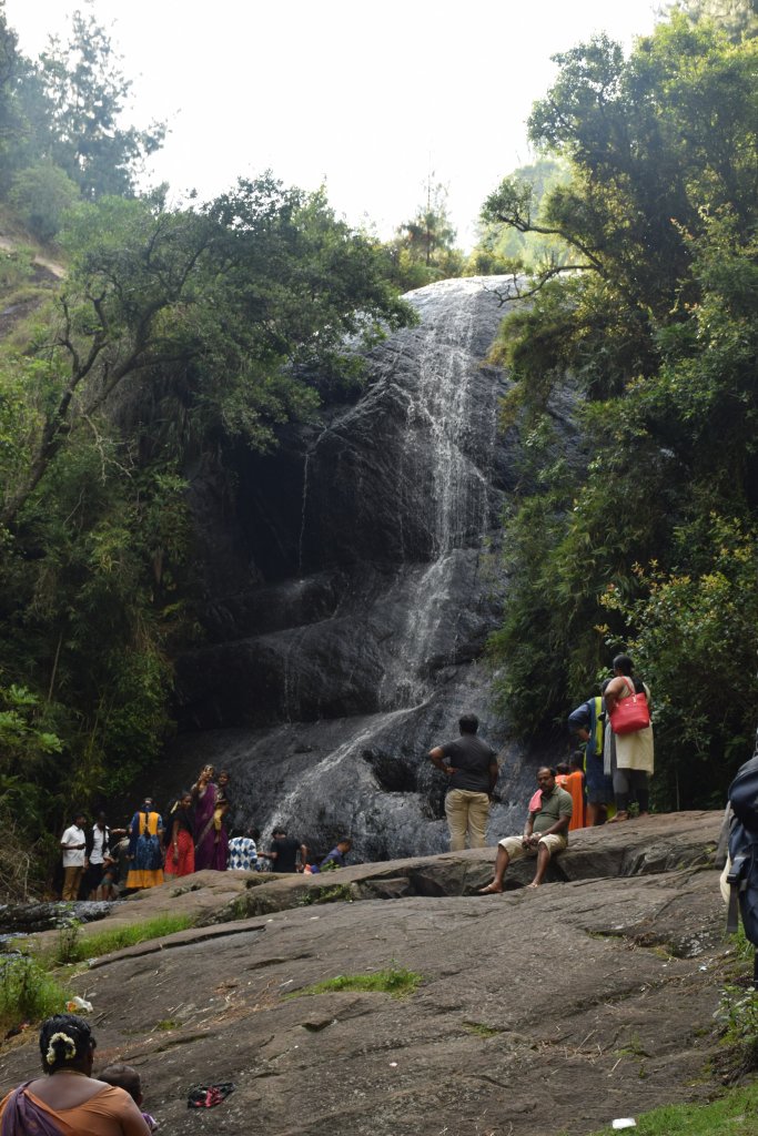
Another mini falls post monsoons

RAIL:Nearest railway station will be Dindigul from where there’s plenty of state transport buses.

AIR: Coimbatore/Madurai can be considered as nearest airport.

ROAD: Pretty good network of roads from all direction-say from Bengaluru or Chennai via Salem and Dindigul or from Trivandrum or Kanyakumari via Madurai. KSRTC AND TNSTC bus services will help A LOT!

Map:-

Bengaluru or Chennai-Salem-Dindigul-Kodaikanal road route

Time to Visit:

Except rains-June to August-anytime is fine.

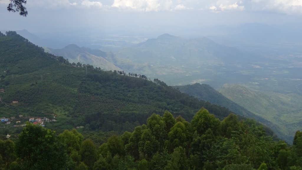
Another stunning view of Kodaikanal

Spend Time With:

Family, Friends, Solo, Couple, Groups

Food and Lodging:(Same situation as Ooty)

Food ain’t an issue, but is costly, especially if you ask for out of context north Indian cuisines. Grab idli dosas and you’ll do fine. Talking about hotels-in peak seasons it’s not easy to get cheap and best hotels-it’s full jammed. Better book in advance with sites like Goibibo or Makemytrip or Yatra and that will save hassle as well as bucks.

Expense:

A 2-day trip to Kodaikanal will cost:

The sidewaters,Kodaikanal lake


Food:INR 150/person/day(3 times a day)X2
Transport:You can manage a few places with shared transport but a private vehicle can be better.Try for shared tours if possible.(INR 300 for public transport and INR 3000 for car booking)
Lodging:INR 800/day X2
Entry Fees includes various places (varies):Approx 200 INR with boating.

Another waterfall in Kodaikanal

Total: 3000 INR(INR 5700 if a shared tour is taken which is better way to go)

Nearby Attractions(Kodaikanal)

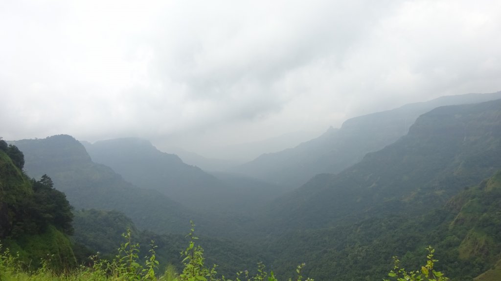
A hazy Top station
A hazy Top station
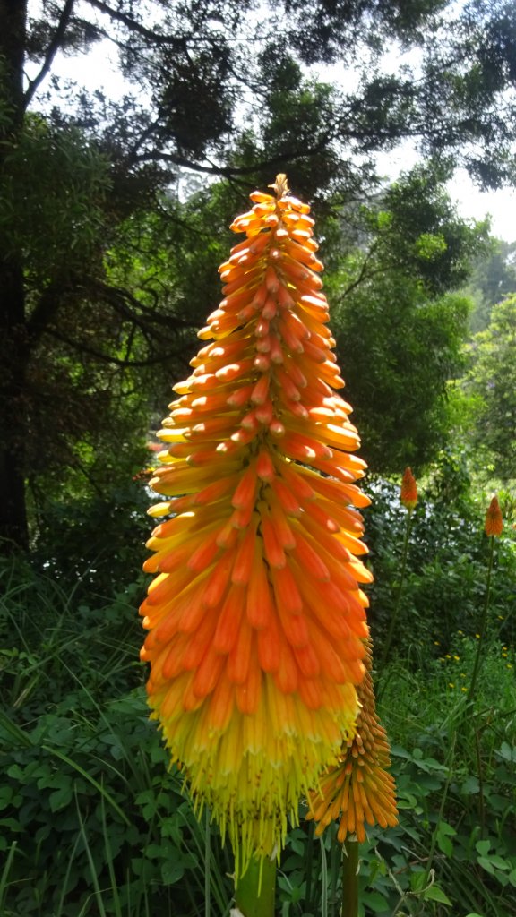
Beautiful flower shot in a botanical garden,kodaikanal

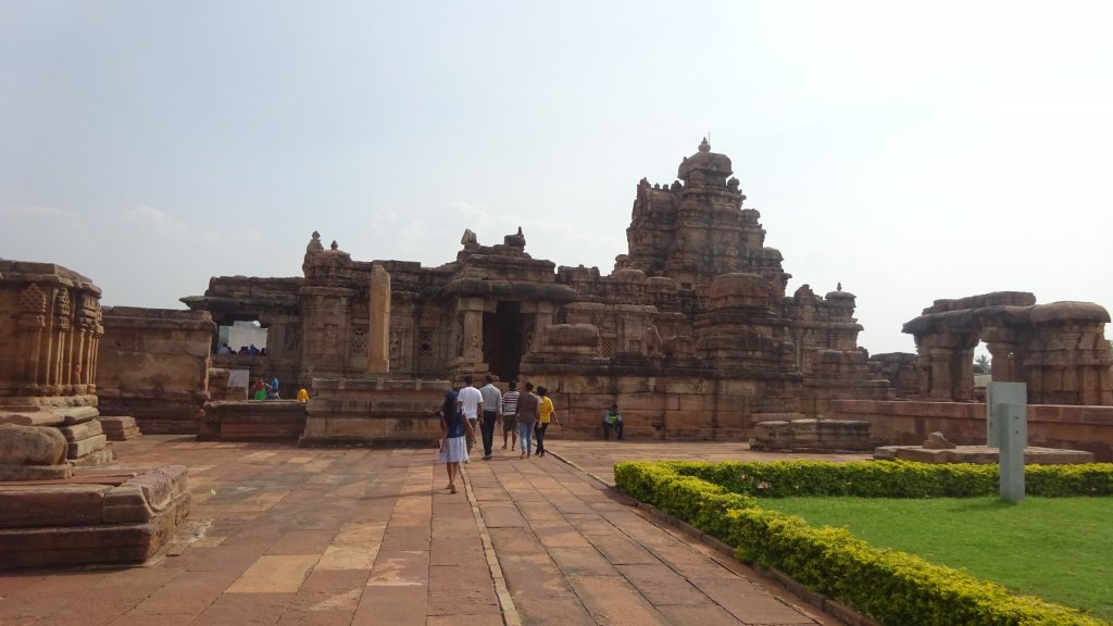
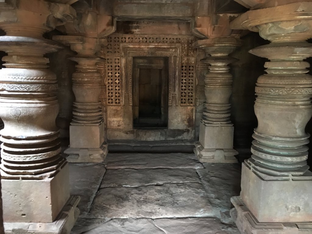
This section was a well-planned circuit trip in the month of late August when the rains had slowed down, but it still rained when I was at Amboli. Aihole, Badami, and Pattadakal give immense depth to the culture followed in the 7-8th century AD, and the kinds of temples of that time-the architecture and design is worth a look! However, I didn’t feel bogged down seeing these temples! Amboli, in contrast to this historical site, is a hill station. Since I was there during the monsoon period, there were the lovely green hills with many waterfalls here and there all over the ranges-western ghats in the rainy season are absolute cheese delight!

Reasons why you must visit Aihole/Badami/Pattadakal and Amboli:

  • Amboli, also known as the ‘Queen of Maharashtra’ in the Sahayadri Hills, is a great hill station to be during or just after the monsoon. July to September is an appropriate period in terms of months to visit.
Amboli Ghat
Amboli Ghat
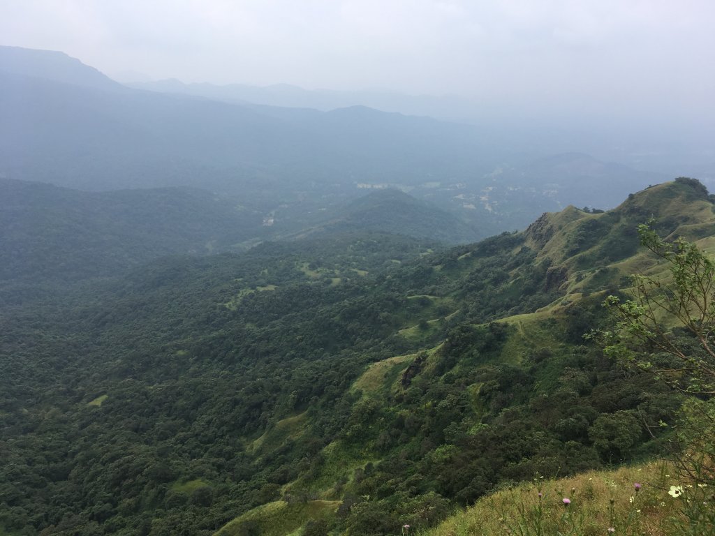
  • Just 3 km from Amboli’s main bus stand, Mahadevgad Fort is a great place to witness the sunset and view the green Western Ghats and the Arabian Sea!
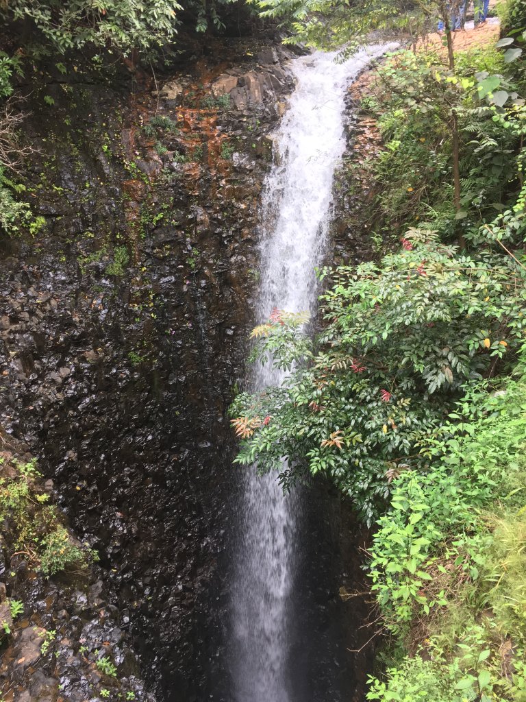
  • Amboli Falls is a beautiful waterfall, around 4 km from the bus stand, surrounded by greenery all over. This becomes a frequent spot for tourists in monsoons due to massive water flow. Plus, you’ll notice several mini-falls in the vicinity in the rainy season.
  • Kavalshet Point (11 km from the bus stand) is another viewpoint in Amboli that offers a breathtaking view of western ghats. There’s a reverse waterfall because the wind makes the fall take an upward direction, causing that illusion!
  • The 10 feet of Nangarta Falls 10 km from Amboli, produce a vibrant sound when they crash on the floor with lots of rainwater in the monsoon.
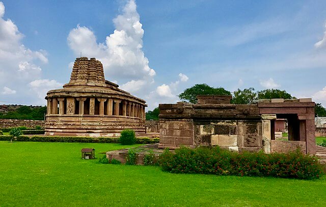
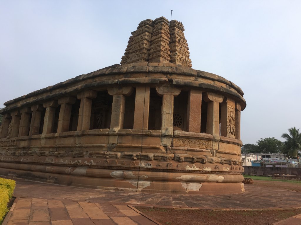
Durga Temple at Airoli
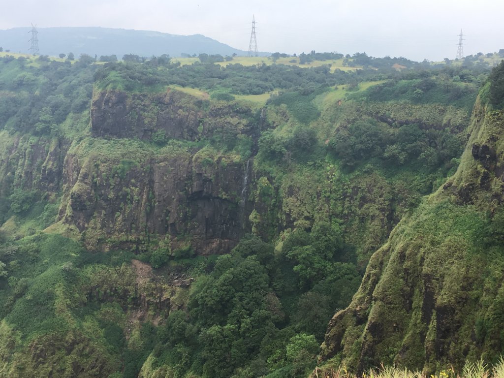
  • Shirgaonkar Point in Amboli is another place to see lush green valleys and numerous tiny falls in a panorama in monsoons.
  • Agastya lake in Badami is a big lake surrounded by rugged hillocks, which looks excellent in monsoons when the lake is entire. Several temples and caves surround it.
  • Northern hill in Badami offers a great view of Agastya Lake and the surrounding rocky landscape, though you need a bit of climbing to reach the top! It’s quiet and peaceful too-courtesy less frequented by tourists.

Location: Aihole and Amboli have located about 450 km and 700 km approximately northwest of Bengaluru.

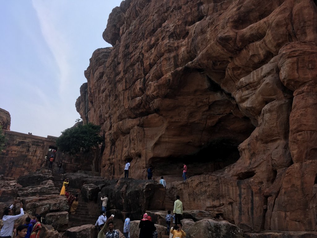
Badami Cave temples
Badami Cave temples

Tourist Attraction on the spot:

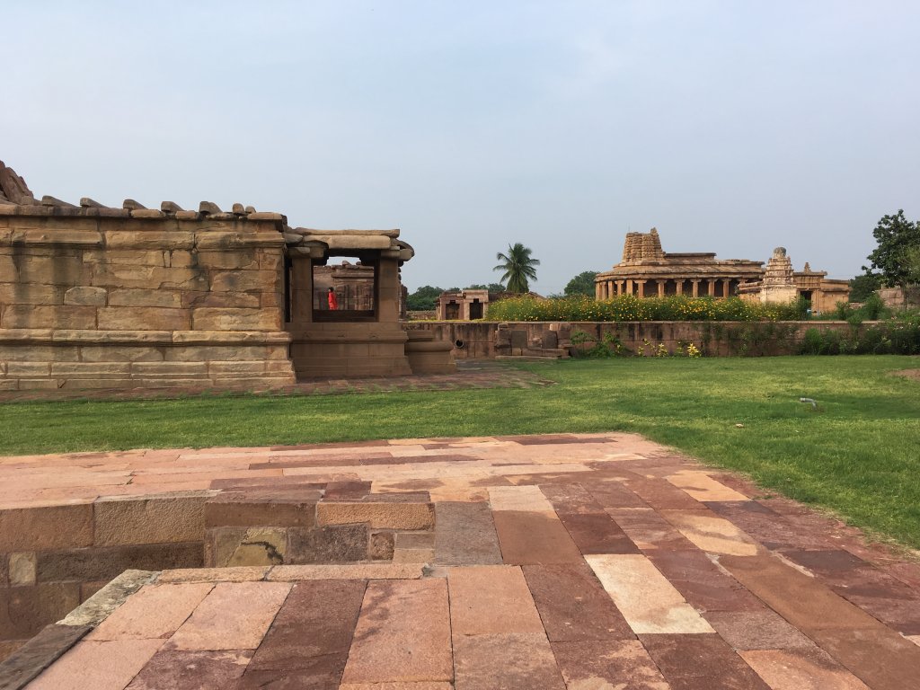
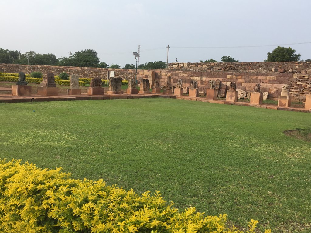
Aihole: Durga and Ravana Phadi temples, Museum, Jyotirlinga temple group, and several other temples;

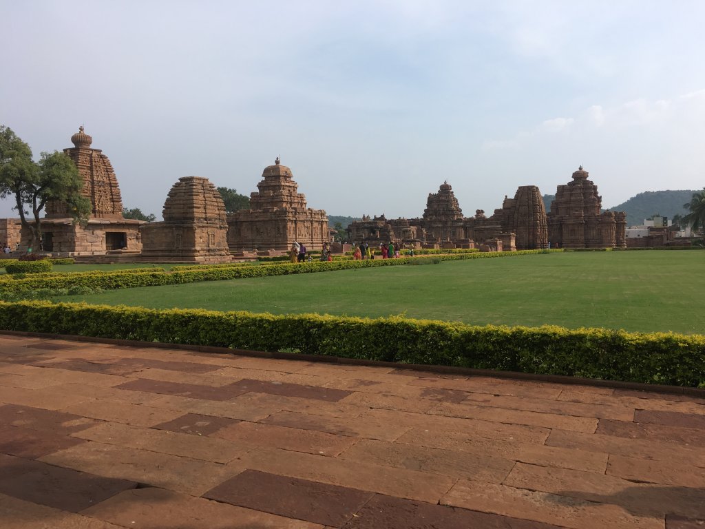
Pattidakal:Mallikarjuna Temple,Papanatha Temple,Virupaksha Temple,Shiva Temple;

Badami: Badami cave temples, Bhootnath complex, Agasthya lake, Badami Fort, other several temples;

Amboli-Mahadev Gad; Kavalshet point, Nangartas falls,parixit and shirgaonkar points.

Tourist Attraction in Vicinity:

You can visit Dudhsagar Falls, Ratnagiri, Goa, Kaas, Mahabaleshwar, Gokarna, Kohlapur and Panchgani from these tourist places.

Group of Monuments at Pattadakal, UNESCO World Heritage Site

Group of Monuments at Pattadakal, UNESCO World Heritage Site

Distance Charts:(Aihole | Amboli)

Pattadakal temples
Pattadakal temples

How to Reach Aiholi-Badami-Amboli:

Road Routes:

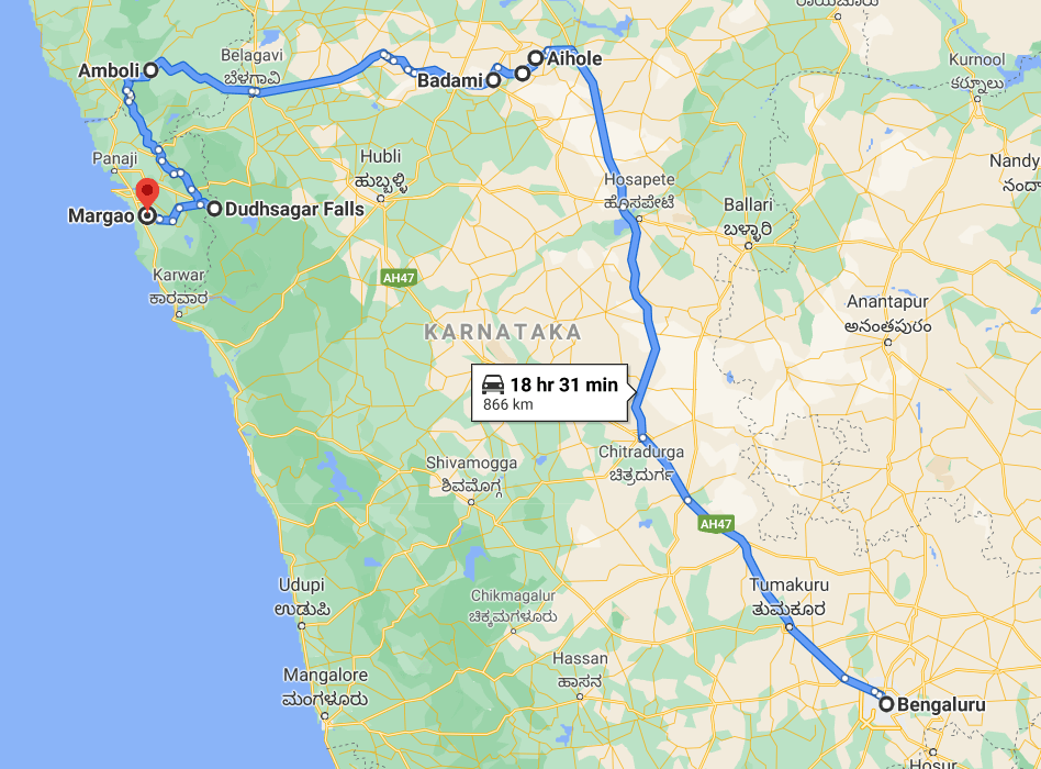
Bengaluru-Chitrakoot-Hosapete-Aiholi-Pattadakal-Badami-Belagavi-Amboli

An Amboli Watefall
An Amboli Watefall

An important note from my experience:

1)The post-monsoon period is excellent for Aiholi, Badami. Pattidakal, whereas the monsoon is great for Amboli. Well. I’ll say you can cover all this in late monsoons when it rains periodically, allowing you sufficient time to cover all the places.

2)Since these places are far apart you’ll need public transport. If you use private transport, you can cover all four of these places daily, whereas public transport depends. In particular, the viewpoints in Amboli require you to have your vehicle or walk.

3)Start early for these places; even if walks and public transport are used, you will be able to wrap up by late evening. Keep Amboli at the top, followed by the three historic sites.

4)Food is hard to get in these regions. Yes, you may find snack shops here and there, but that’s it. Have some food and water with you as these are remote areas- fewer people, less transport, fewer shops!

Madadevgarh Amboli
Madadevgarh Amboli

RAIL:Bagalkote/Belgaum are nearest railway stations

AIR: Belgaum has an airport as well as Hubli.

ROAD: Roads are in good shape upto say Hosapete,Beyond that,all the way upto Amboli,roads are dusty patchy and bumpy-not so bad but still not so great but yeah well-directed roads. KSRTC / MSRTC buses are still available for certain places.

Map:

Bengaluru-Aiholi-Pattadakal-Badami-Amboli Map with extension to Goa

Time to Visit:

August to February is a good time to be here.(Aug-Oct are best months)

Set of Idols,Badami
Set of Idols,Badami

Spend Time With:

Friends, Groups, Solo, Couple, Family

Food and lodging

Bagalkot is the best place in Belgaum to visit these places. Hotels are excellent and cheap, with no need to book. However, carry snacks and water with you when you see these places, as you’ll not have great options to eat at these places.

Expense:

A 2 day trip to Aiholi-Badami-Pattadakal-Amboli costs:

Kavalshet Point at Amboli


Food: INR 100/person/day(3 times a day) X2

Transport: Public transport will mainly help you see the temples at Aiholi Pattadakal and Badami (INR 150), but Amboli needs to hire a vehicle which will cost maybe INR 1500 or so.

Lodging: INR 700/day X 1 at Belagavi/Bagalkote

Entry Fees: INR 100 at the temple entrances

Group of Temples at Acholi

Total: 3050 INR

Group of Temples at Aiholi

Total: 3050 INR

Nearby Attractions(Aiholi | Amboli)

A temple architecture
Mahadevgarh Fort
Mahadevgarh Fort