Author

Bob the Explorer

Browsing

Munsyari-you must not have heard of it, but when you see my fantastic youtube video and photos I publish here, you’ll be making all amends to be here at the correct times. Want to see infinite mountain ranges covered in snow with greenery instilled-Munsyari is your pick-wanna see a better view-trek the Khaliya top!

Reasons why you must visit Munsyari and Kausani:

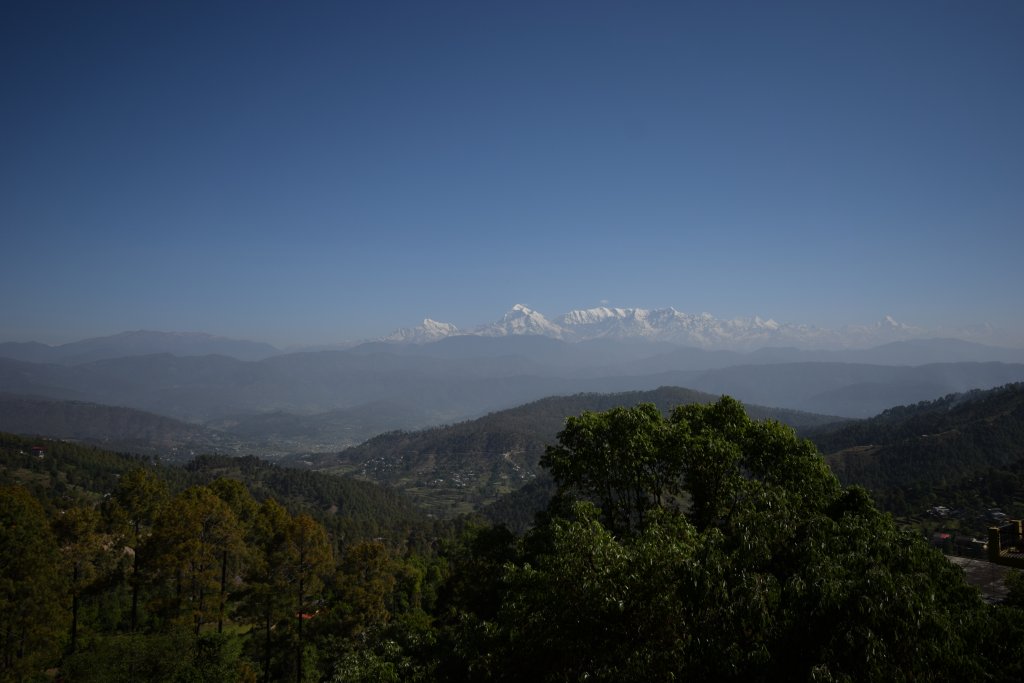
  • Kausani is known for its beautiful panoramic views of Trishul, Nanda Devi, Nanda Kot, and Panchchuli peaks during sunrise and sunset; what is more beautiful: the sunlight kissing the snow-clad mountain tops. I spent 2 hours in the morning witnessing the beautiful kissing of the sun and snow on a mountain top. It’s just a treat to watch.
  • Kausani is not just rightly called ” Switzerland of India “
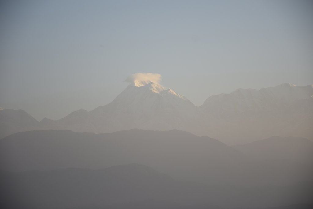
The beautiful Panchkula Peaks from a hotel in Kausani
  • Kausani looks simply incredible in winters. It becomes much more romantic with snowfall happening all around and snow-covered everything possible. The panoramic view is splendid!
  • Kausani is known for notable places like the Gandhi(Anasakti) Ashram, which has a significant historical connection with Mahatma Gandhi, Baijnath Temple, and beautiful tea estates.
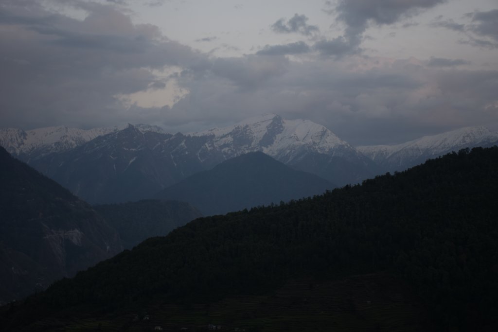
A view of beautiful Peaks from Nanda Devi Temple in evening from Munsyari
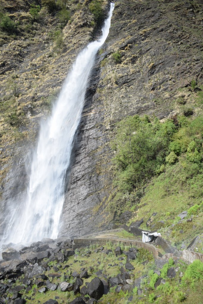
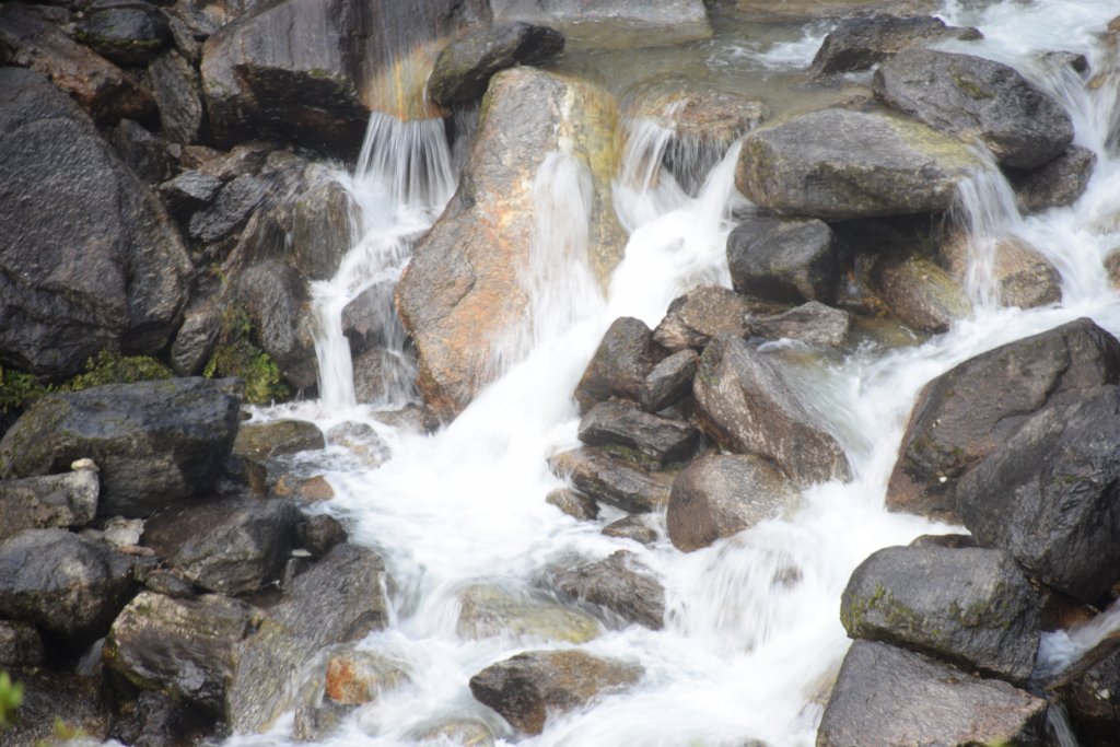
  • Birthi Waterfalls was something I couldn’t stop admiring. It’s lovely to be seeing the waterfalls that close and trying to make a video with a camera-action camera with a waterproof case shall come to rescue here.
  • Khaliya Top, an easy 6 km trek from Balanti farm in Munsyari, presents beautiful panoramic views of the jaw-dropping Panchachuli, Nanda Kot, Hardeol, and Rajrambha peaks along with stunning sunrise/meadow views.

Location: Munsyari is located north-eastern extreme of Uttarakhand, about 9 hours(260 km) from Nainital and about 450 km from Dehradun
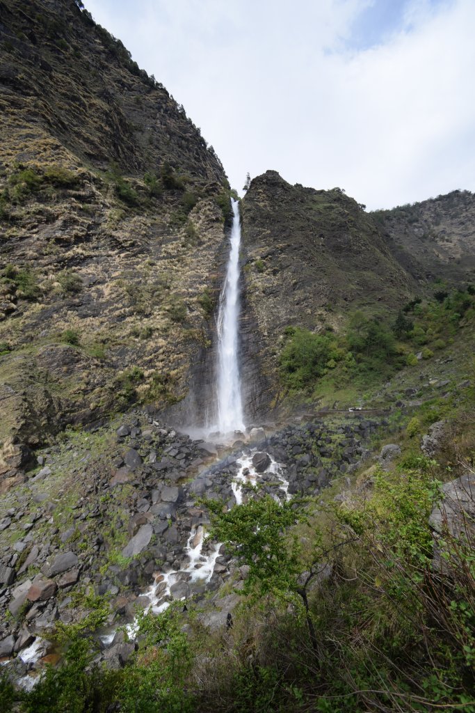
Birthi Falls on Kausani-Munsyari route

Tourist Attraction on the spot:

Thamrin Kund, Kalamuni top/temple, Birthi Falls, Nanda Devi Temple, and Munsiyari Viewpoint are a few top hotspots for tourism in Munsyarui.For Kausani we have-Kausani Tea Estate,Kausani View Point/Observatory and Anasakti Ashram.

Tourist Attraction in Vicinity:

Pithoragarh, Nainital, Ranikhet, and Almora are nearby tourist spots.
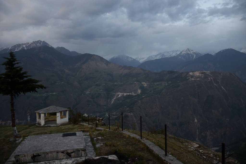
Another view of Panchkula Peaks from Nanda Mata Temple

Distance Charts:{Ex-Munsyari}(From Munsyari-Kausani is 165 Kms towards Nainital,away from Pithoragarh)

View of Himalayan ranges after sunrise in Kausani

How to Reach Tso Moriri(Ex Leh):

Road Routes:

Haldwani-Nainital-Almora-Kausani-Baijnath-Bageshwar-Bhanar-Munsyari

Eye to Eye-Birthi and me

IMPORTANT NOTE FROM MY EXPERIENCE:

1)Kausani is a place where you must at least spend one whole day, starting with watching the peaks glow in the sunlight and then walking casually over the streets and trails of Kausani

2)Munsyari and places like Pithoragarh and Chaukori need time to explore. Don’t just plan for a day and hop here. Have 4-5 days, especially for the Munsyari region. Any amount of time is not sufficient for this place-the views are that alluring, to be precise.

3) Pre-fill vehicle oil tanks as petrol pumps are less numbered and don’t expect anything much between Kausani and Munsyari

4)Since restaurants are few on the way, it’s better to have food and water with you.
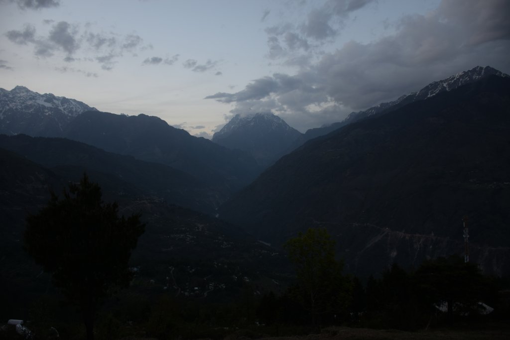
Panchkula Peaks amidst a glum weather

RAIL: Railways are there upto Dehradun/kathgodam only.

You can watch the below video to get a better idea! Do like and share if you find it worth it…

AIR:Dehradun is the nearest aiport.

ROAD:You can somehow reach Haldwani by train after which do break journeys to Nainital,Kausani and finally Munsyari. Alternatively you can go to Almora and reach Munsyari skipping Kausani.Even if you come from say Dehradun,bus shall be there to help you reach Munsyari via Rudraprayag and Bageshwar. UTC state buses help the journey in patches.

Map:
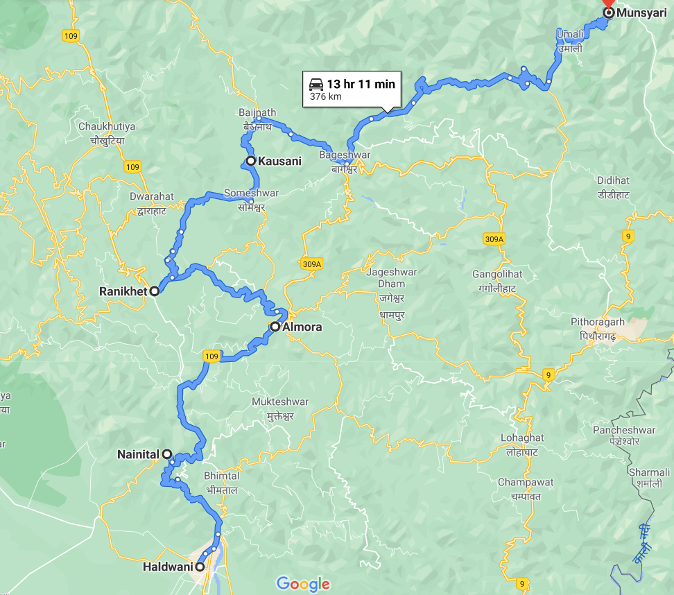
Nainital Kausani Munsyari Map

Time to Visit:

March-May(april is a bit rainy);Sept-Nov (Snowfall might happen in November)
the footfall of Birthi

Spend Time With:

Family, Friends,Solo, Couple

Food and Lodging:

You’ll not have issues with lodging and eateries in both Kausani and Munsyari.In Kausani, be a bit variety of peak seasons (April-May) as tourists come plenty here. Between Kausani, Almora, and Munsyari, getting food or fuel can be pretty difficult-have. Water and snacks with you. Refer to Goibibo, Makemytrip, and Easemytrip if you want a booking.

Expense:

For a 3-day trip by public transport to Kausani and Munsyari, with night stay at each place:
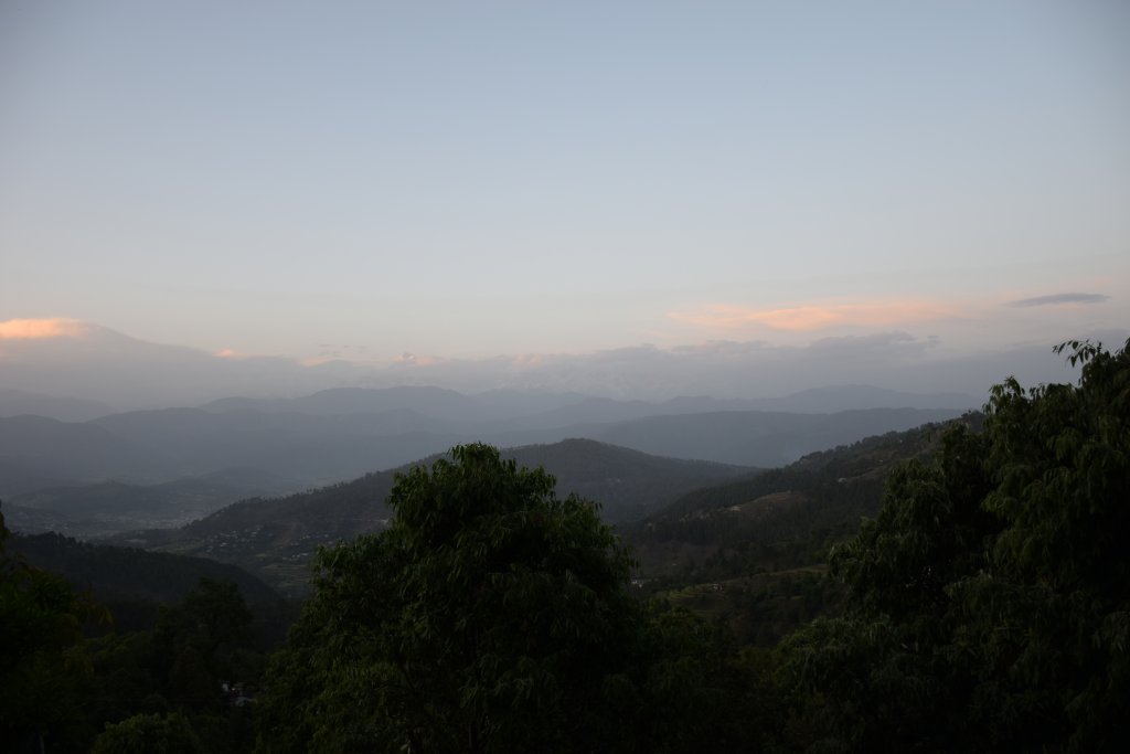
Kausani at Sunset
Kausani at Sunset


Food:INR 100/person/day(3 times a day)X2
Transport:INR 1000 INR by bus in total-(max estimation)(Pvt. car will cost approx 3000 INR/day)
Lodging:INR 700/day X2 at kausani and Munsyari(two nights stay)
Entry Fees includes various places (varies):No entry fees
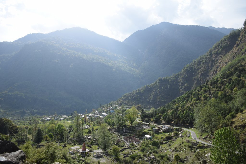
View of Beautiful Garhwal Himalayas

Total: 3300 INR(Can go upto to 8500 INR if a pvt. car is availed)

Nearby Attractions(Munsyari | Kausani)

A closer look at Birthi Falls
Sarayu River on Munsyari-Almora Road

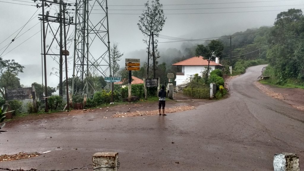
The Chikmagalur region of Karnataka is a treasure- I found this place to be the king of natural beauty, and it’s just 6 hours away from Bengaluru and closer to Mysuru. The main talk is about green stretches and exciting trekking trails. You can trek for three days or so and cover the whole region if the forest department permits. The post-monsoon view is a treat to the eye- whether it’s KR hills, Mullayanagiri or Bababudangiri. There are tea and coffee estates and many forests which make the trek worth it though you can reach all these three places by your vehicle too-but you still need your feet to talk a bit- anything for mother nature-right!

5 Reasons why you must visit Chikmagaluru:

  • Chikmagalur lies in the foothills of the Mullayanagiri Range at a height of 3400 feetknown for its vast range of hills,forested areas ,tranquility and huge coffee plantations.
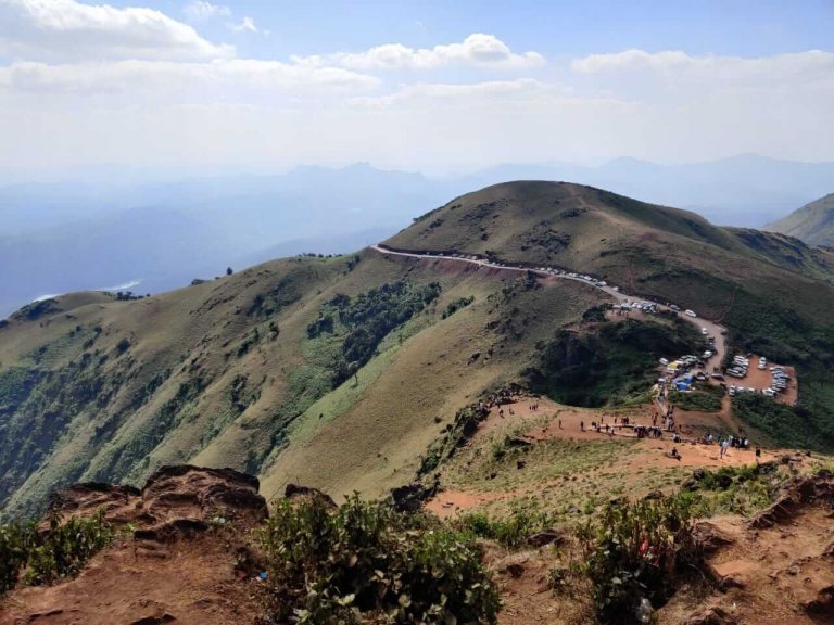
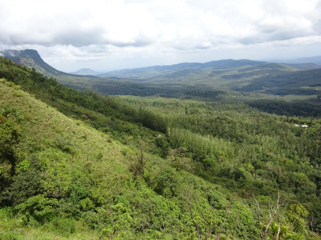
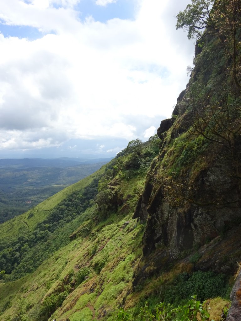
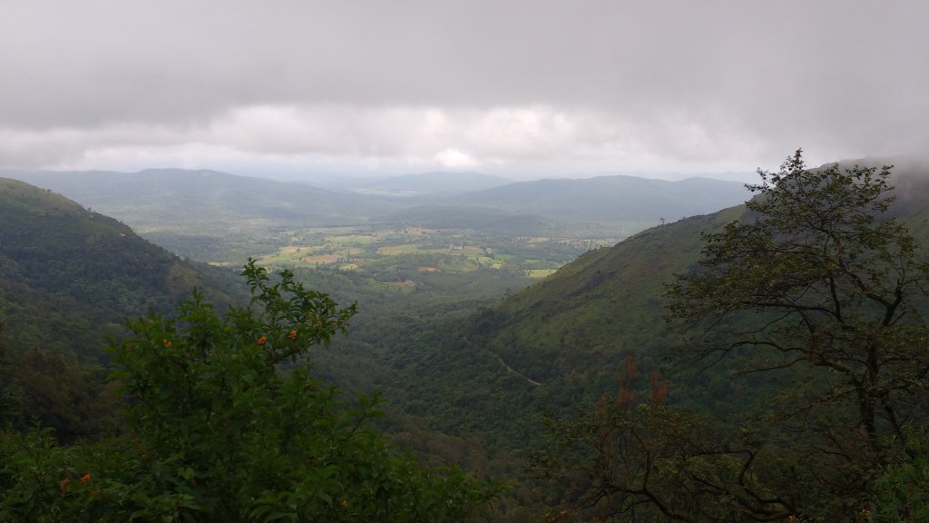
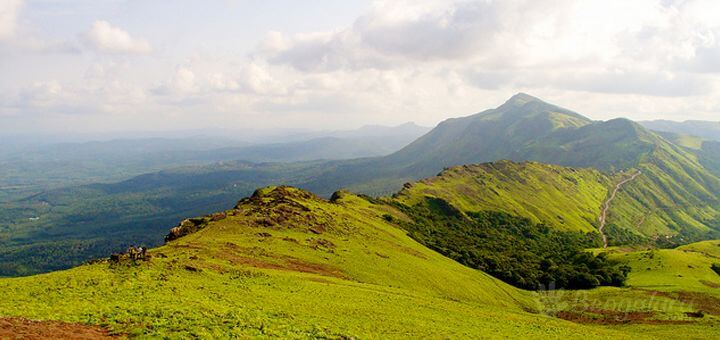
Views of Mullayanagiri Valleys
  • Kemmanagundi or KR hills has the highest peak of Karnataka, Mullayanagiri.This is around 2000 m in height and is a must trekking paradise for anyone who wants to get started as a trekker .Red soil and rains pose challenge to the trek. The view from top is just over the moon. There’s a Shiva Temple at the top as well.
  • Kemmanagundi has beautiful spots and must visit ones like Hebbe Falls, Z Point, Kalhatti Falls which are great visits just post-monsoon.
  • Baba Budangiri,the second-highest peak in the mountain range, is must visit for its picturesque hills and valley coupled with endless green meadows.
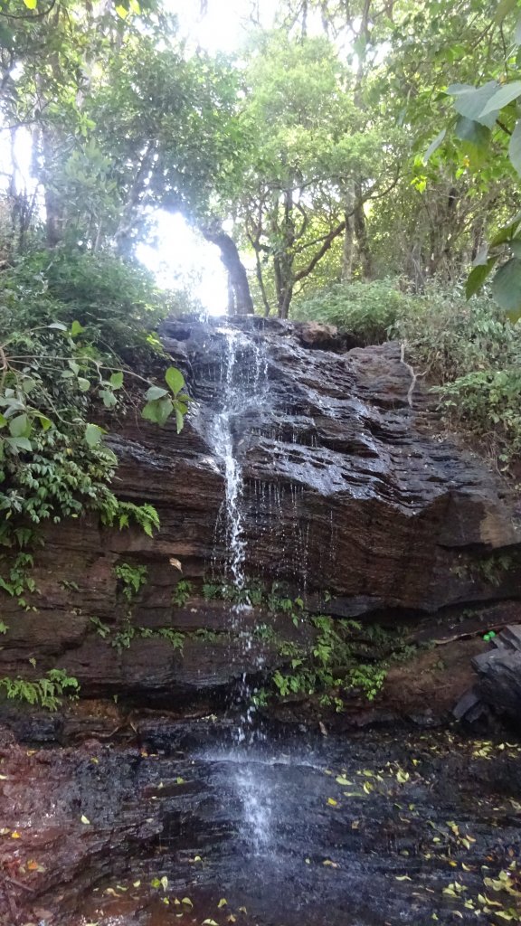
Shanthi Falls,KR hills
  • A protected area and Project Tiger area, the Bhadra Wildlife Sanctuary is one of the best tourist spots in Chikmagalur. The Sanctuary is located between the districts of Chikmagalur and Shimoga and is at approx 35 km from Chikmagalur. This is must visit to view the tigers as well as the Bhadra Reservoir.

Location  : Chikmagaluru is 250 kms west of Bengaluru.Mullayanagiri is about 20 km, Bababudangiri is around 30 km and Kemmanugundi or KR hills is 60 kms from Chikmanagaluru.

K.R. Hills,Kemmangundi

Tourist Attraction on the spot:

Mullayanagiri peak, Bababudangiri, KR hills : Shanthi Falls,Hebbe Falls, KR park, Z point, Kalhatti Falls

Tourist Attraction in Vicinity:

You can visit Jog Falls , Murudeshwar ,Udupi ,Gokarna,Coorg and Sringeri within 400 km range.

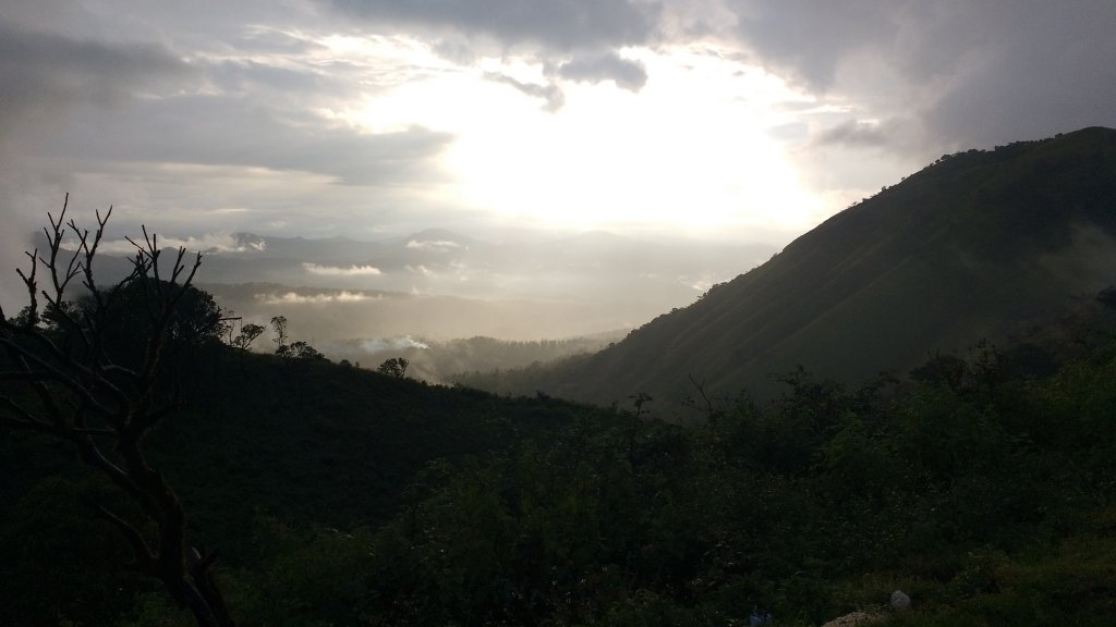
The glory of romantic sunset in a shy of drizzle

Distance Charts:(Chikmagaluru)

The deadblock trekked up wrong-Mullayangiri

How to Reach Chikmagaluru:

Road Routes:

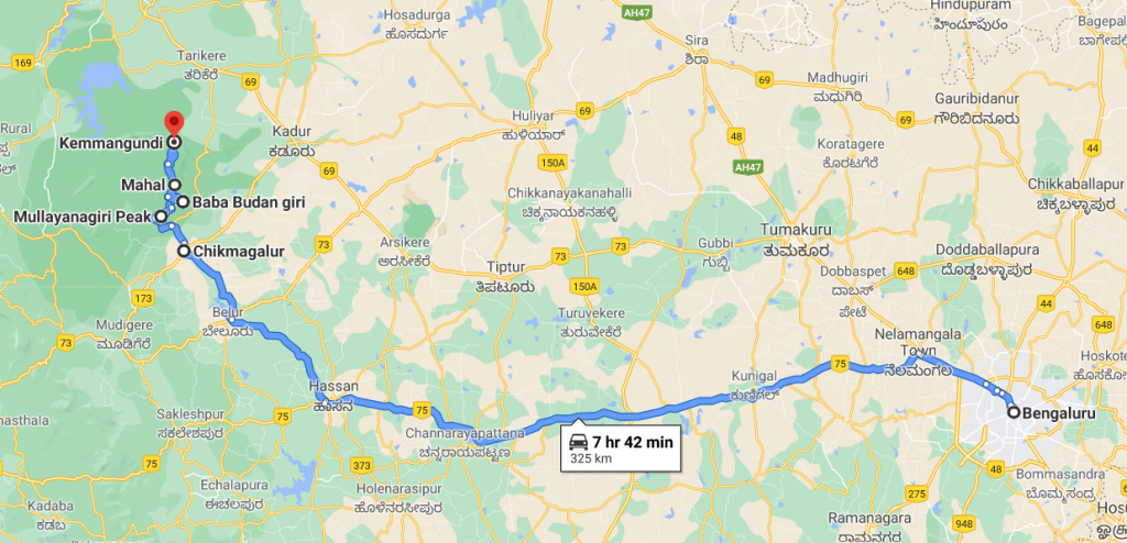
Bengaluru-Hassan-Chikmagalur-Mullayanagiri-Bababudangiri-KR hills

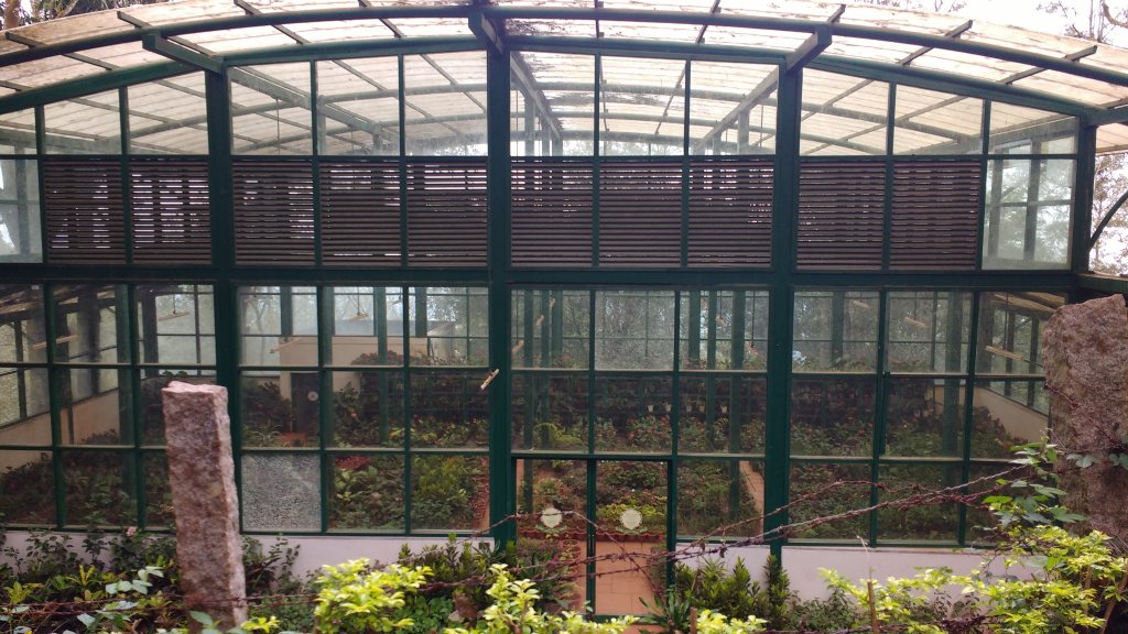
Greenhouse at KR hills

IMPORTANT NOTE FROM MY EXPERIENCE:

1)The late September to Early November is the suggested corridor to view these places in utmost greenery without facing much rainy spells-you don’t want to trek here in even drizzles.

2)Continuing on my first point , Mullayanagiri and all neighboring hills have that red soil which becomes damn slippery after even a drizzle-unless you are in proper boots-you are gonna fear slip roll and then anyhow manage to be at the top.It’s gonna make you think -no treks next time but we adventurous junkies are shameless-we’ll do trek but easier ones in right seasons next time!

3)Have snacks and water with you in a small bad and keep it light when you trek to any of these regions.Have a mini umbrella with you all times-either to get away from sun or from downpour.

4)Bababudangiri has a waterfall coupled with amazing views far and wide-local buses is only way to be here but ,it’s worth it. Green pastures with lots of tea plantations with a trail going to Kudremukh down the line is what you see!

The plains from KR hills

RAIL:Chikmagaluru has a railway station of its own but trains are pretty few.Hassan will be a better stop from where you can catch a state bus.

AIR: Hassan/Mysuru/Bengaluru are some airports close to Chikmagalur.

ROAD: A road from Bengaluru runs straight through Hassan to Chikmagalur on a smooth metaled road,But,the road to Mullayanagiri or KR hills is not smooth, quite rough with lots of patches-maybe because half the year it rains here!KSRTC offers good bus services upto KR hills.

Map:

Bengaluru-Hassan-Chikmagalur-Mullayanagiri-Bababudangiri-KR hills road rourte Map

Time to Visit:

September to January is a good time visit these places.

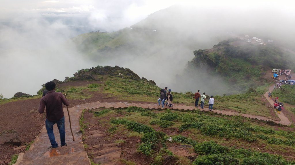
The peak of Mullayangiri is  3 kms uphill
The peak of Mullayangiri is 3 kms uphill

Spend Time With:

Friends,Groups,Solo,Couple,Family(if used to hilly roads)

Food and Lodging:

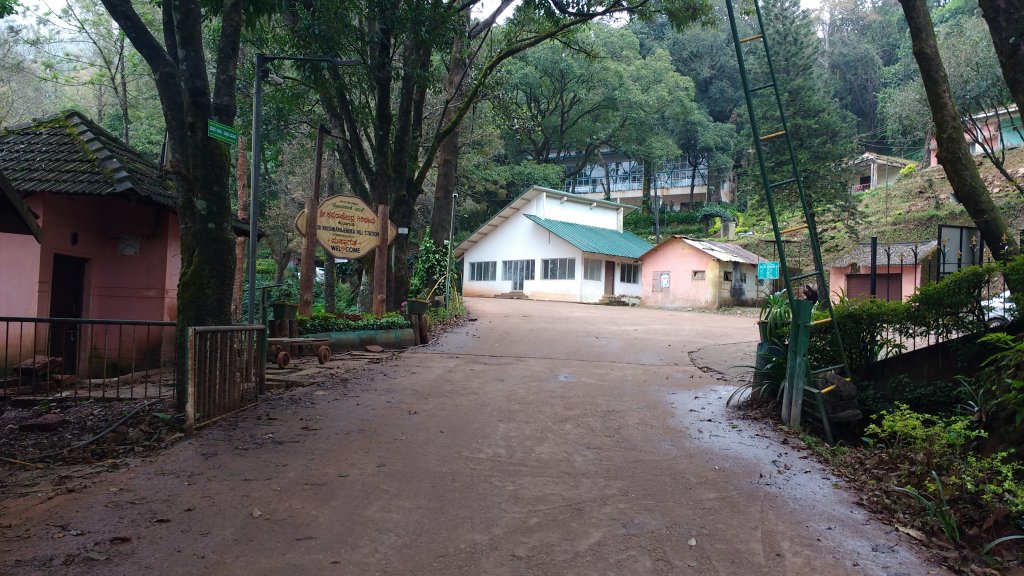
Hotels are not there at Bababudangiri or Mullayanagiri but you’ll find some resort or government guest house in KR hills. Chikmagalur is cheap and best for hotels for these places.And have snacks and plenty of water for all these places as there are hardly any shops as such except maybe at peak and KR hills. Chikmagalur has restaurants with local food-shall not be an issue.

Expense:

A 2 day trip to these places cost(only if buses follow your time patterns):

The gateway to Z-point,KR hills


Food:INR 80/person/day(3 times a day)X2
Transport: Private bus will cost some 150 bucks to Mullyanagiri trek base point and Bababudangiri to and fro. For KR hills ,there’s state as well as private buses costing about 120 INR to and fro(In case you book a car to Mullayanagiri to and fro,that can cost you around INR 2500)
Lodging:INR 700/day X1(one night stay at Chikmagalur)
Entry Fees :Zero

The stairs to foothills of Mullayanagiri

Total: 1450 INR(INR 3900 if you book a car for Mullayangiri)

Nearby Attractions(Chikmagalur)

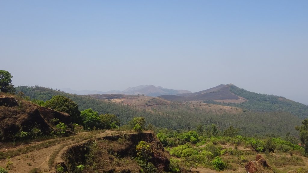
Bababudangiri
Bababudangiri

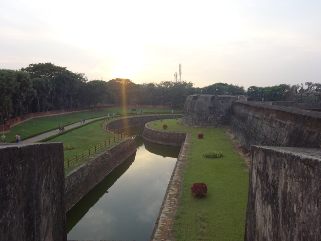
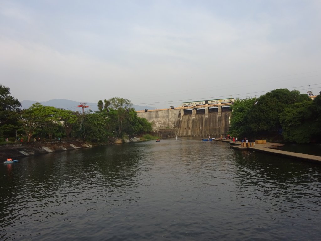
This trip is the most memorable one for me as it provides an absolute treat to the eyes. You get a complete view of Western Ghats from two states—Tamil Nadu and Kerala. The highway is a remote hill station hardly visited in Tamil Nadu, is a perfect picnic spot, and offers excellent views. The whole journey from Valparai to Chalakudy-Athirapally in Kerala is simply astounding-simply remarkable, with a stream following all the way. The Athirapally is a hidden gem-the water flow will be wonderful to see if you come in September-I went there in November-still, great! This road takes us to Thrissur and Guruvayur, where you can get a darshan of Shree Krishna. Palghat is not far from Guruvayur, and Silent Valley is a few yards away. Silent Valley is a beautiful national park and cheap on a shared Jeep tour; your trip becomes complete when you see many mountains around you, green against dazzling blues, with a stream of happiness. Palghat has the Malampuzha dam and a majestic fort to witness.

Reasons why you must visit Valaparai, Highways, Silent Valley, Athirapally and Guruvayur:

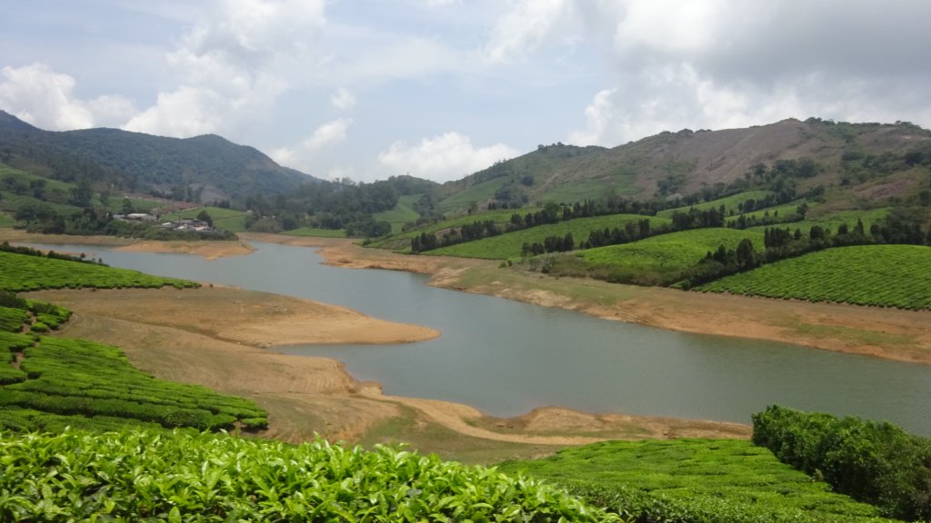
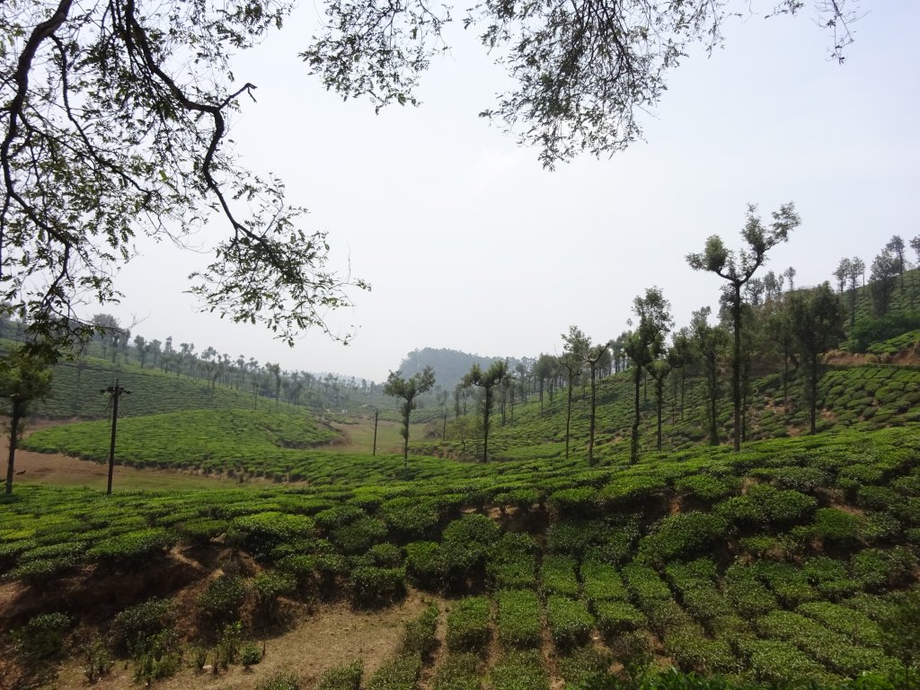
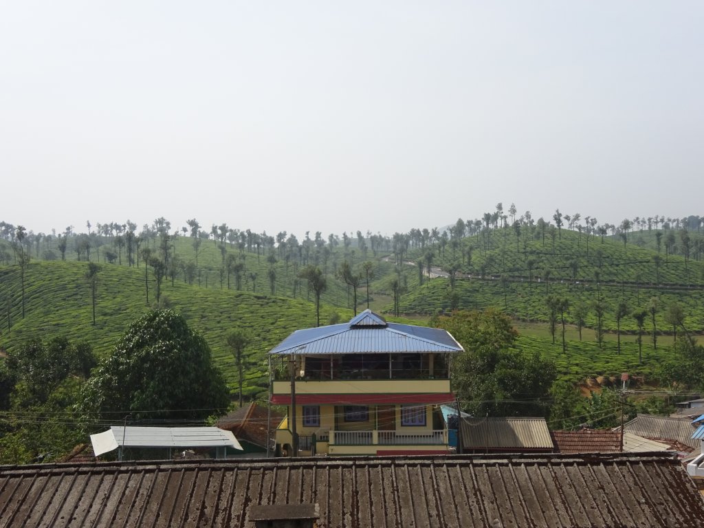
  • Valparai is famous for its tea plantations; you see the green view everywhere. Because of that, it’s pretty remote yet well connected by buses- a sure-to-go picnic spot and a few days of vacation!
Highways is an amazing hill station near Madurai or Kumily
  • Valparai and Highways are cool hill stations with a moderate temperature throughout the year, very ideal spot to be, away from lots of tourist crowds that we find in Ooty or Kodaikanal.
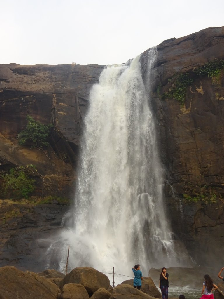
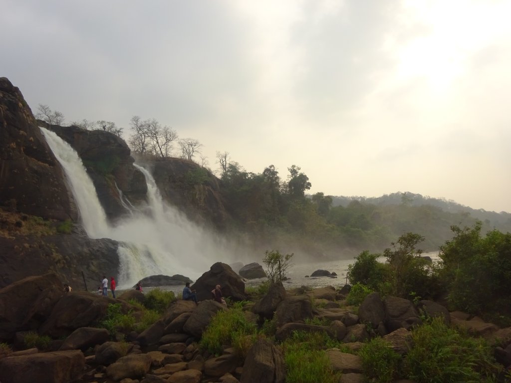
  • Athirapally falls quite close to Valparai on the way to Thrissur. It’s tall and magnificent, with several falls at the bottom. At the top, you can relax along the riverside, and it feels soothing at sunset watching the crystal clear water transform into falls.
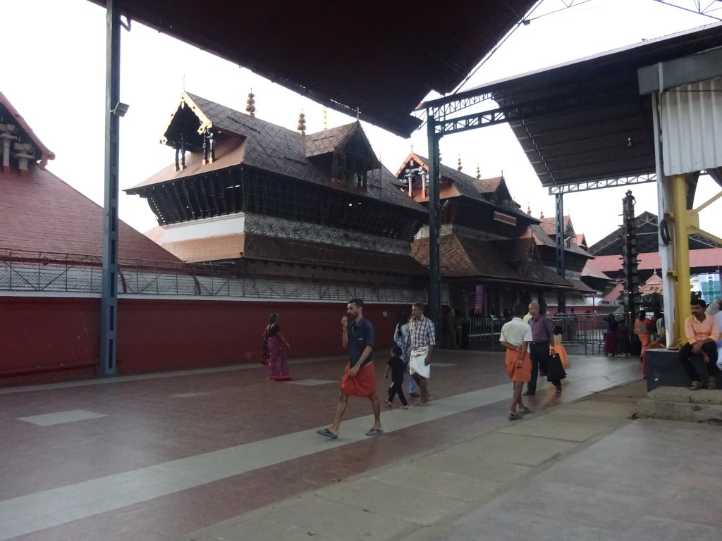
Guruvayur Temple
Guruvayur Temple
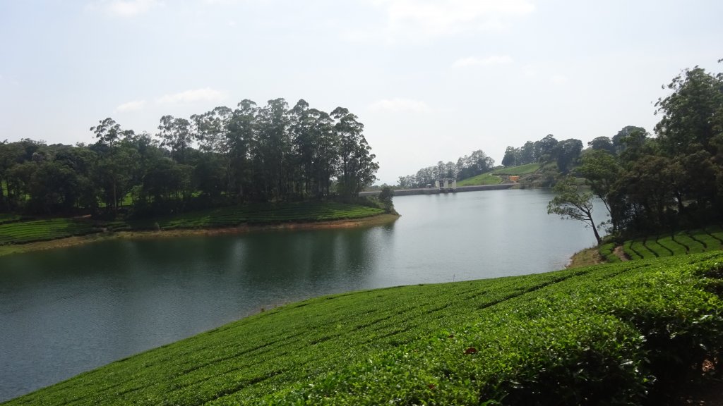
  • Highways are another hill station in Tamil Nadu for peace-lovers and nature-lovers too! The main highlight is the lake with greenery around it—the temperature is mild even in May, and June—that’s a sweet spot!
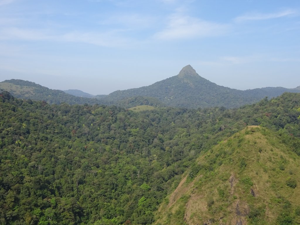
  • Located in the Palakkad district of KeralaSilent Valley National park gives a panoramic view of Nilgiris and the Biosphere Reserve. An Old World Monkey, a small Indian civet, and dhole are a few fauna species unique to this area.

Location: Valparai, Highways, Silent Valley and Athirapally Falls are 500 km south of Bengaluru, and Gu

Valparai falls on opposite side of Highways  through Munnar
Valparai falls on opposite side of Highways through Munnar

Tourist Attraction on the spot:

Vazhachal Falls, Valparai Hill station, Guruvayur(near Thrissur), Highways hill station, Kanjirapuzha Dam, Virgin Valley, Top tower View, Malapuzha dam, Palakkad fort, Guruvayur temple

Tourist Attraction in Vicinity:

You can visit these places: CochinMunnarKodaikanal, Alappuzha, Ooty and Madurai.

Athirappilly Falls,Chalakudy

Distance Charts:(Highways | Guruvayur)

Athirappilly falls from another angle

How to Reach Valaparai, Highways,Silent Valley, Athirapally and Guruvayur:

Road Routes:

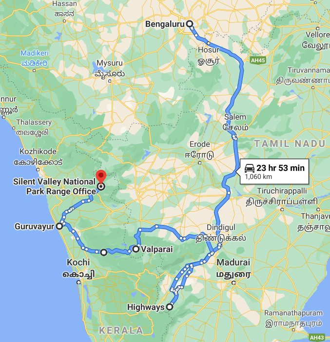
Bengaluru-Salem-Dindigul-Highways-Valaparai-Athirapally Falls-Guruvayur-Silent Valley National Park

The Silent Valley offers views of Western ghats

An important note from my experience:

1) To see caves and national parks, avoid the rainy season, come here after September month.

2)If forests, greenery, and waterfalls are what you prefer, drop in July to September. You’ll love the greenery of paddy fields and dense forests.

3)Carry snacks and water with you as shops on the roads are few, and it takes time to reach another city.

4)Carefully study the news and the situation before arriving here. Otherwise, you can be in real trouble. Watch the news for yourself, and you’ll get to know the region’s sensitivity. Not making you fear, though!

5)Araku Valley is something you can easily cover by adding a day extra, and it’s worth it-its the best hill station of Eastern ghats in India-fact!

6)Booking a car is way better than public transport, but come in a group; solo travel is not for the faint-hearted and, God’s sake, avoid venturing into forests; stay within city limits!

Palghat Fort, Palakkad

RAIL: Dindigul would be close to Highways and Valparai, whereas Palghat for Silent Valley and Guruvayur/Thrissur for Athirapally Falls.

AIR: Madurai/Cochin are the nearest airports.

ROAD: Mostly, the roads will be hilly from Dindigul onwards. AND TNSTC bus services with Kerala SRTC make the journey all pleasant! However, there are a few bad patches on the way to Palghat/ Valparai section.

Map:

Bengaluru-Highways-Valaparai-Athirapally Falls-Guruvayur-Silent Valley Road route map

Time to Visit:

September to March is a good time at these places.

Malampuzha Dam,Palghat

Spend Time With:

Friends,Groups,Solo,Couple

Food and Lodging:

Except for Guruvayur, other places have pretty few hotels and lodging facilities. You can try using Goibibo, Makemytrip, or Yatra websites for more options. For Highways, you should reach there, spend a few hours and stay the night at Dindigul; the next day, you can start early, visit Valparaiso, Athirapally and Guruvayur on the same day and rest the night at Guruvayur and leave for Palakkad on next day early morning. Try reaching Silent Valley by 9-10 am and wrap it by the third day. For food, in most places, it’s good to have water and snacks at most places, but if you run out of them, your best can be Valparai or Guruvayur to refill the stock.

Expense:

A 3 day trip to these tourist places will cost:

Highways is damn romantic


Food: INR 100/person/day(3 times a day)X3

Transport: All places can easily be covered by state and private buses. And from Dindigul to Silent Valley, the charges will be around INR 1000.

Lodging: INR 700/day X2 (1 night at Dindigul and next night at Guruvayur/Palakkad)

Entry Fees: INR 400 for Silent Valley entry fees and gipsy shared tour. Rest places are accessible.

Another view of Valparai

Total: 3700 INR

Another view of Valparai

Total: 3700 INR

Nearby Attractions(Highways | Guruvayur)

The Silent Valley Vibes
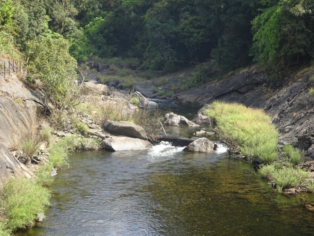
Chalakkudy Times
Chalakkudy Times

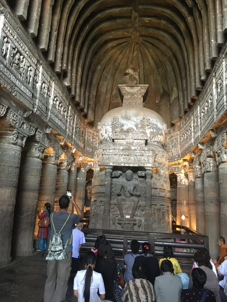
One of the UNESCO sites in terms of monumental history and artifacts, Ajanta-Ellora Caves stands tall against the tide of time. I can say I have a lot of time to spare for these two marvels and lots to explore. You need two days to be here to explore these caves fully. Yes, there’s structural repetition, and all seem similar after some time, while a historian will understand the differences between shelters, whereas an ordinary man would generalize the same. Nevertheless, it’s a one-time must-visit place with mostly marks of Buddhism and how monks remained in caves and imparted knowledge in the olden days. Plus, you can trek to nearby forests just after the rains. Bibi ka Muqbara is another highlight that closely resembles the Taj Mahal in Agra.

Six great reasons why you must visit Ajanta/Ellora Caves:

  • The Ajanta Caves, a UNESCO World Heritage Site, have some exquisite paintings inside caves that depict Buddhist religious art and Buddha life. The Caves consist of five chaityas or prayer halls. Other caves are known as Viharas, which were meant for residents.
  • Devagiri, a town about 11 km from Aurangabad, houses the famous 12th-century Daulatabad Fort on a 200 m high hillock. Aurangabad is obvious once you get to the top by climbing 800 odd steps.
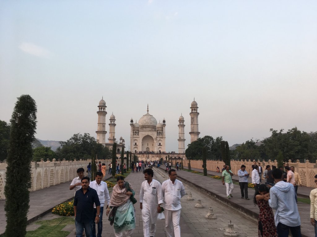
  • Bibi-ka-Makbara is the prime tourist attraction of Aurangabad, which is the grave of Rabia-ul-Daurani, the wife of the Mughal Emperor Aurangazeb.
  • Soneri Mahal organizes a dance and music festival annually, showcasing performances of famous artists like Zakir Hussain, Ghulam Ali, Hari Haran, and Hema Malini.

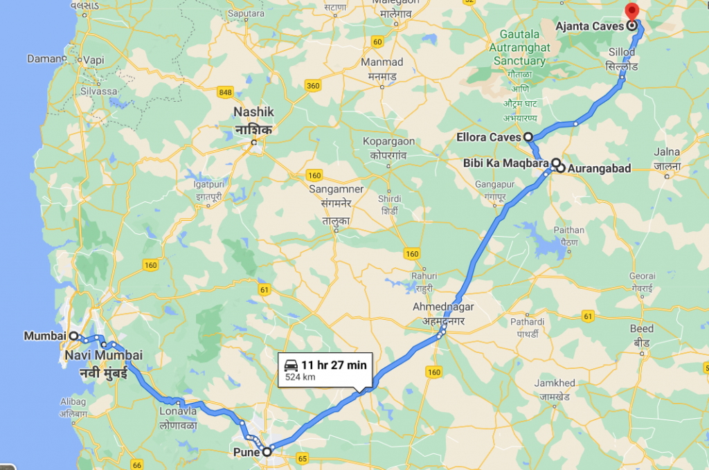
Location: Aurangabad is 350 km east of Mumbai and 250 km east of Pune.

Ajanta Caves is known for Cave paintings

Tourist Attraction on the spot:

Ajanta and Ellora Caves,Bibi ka muqbara

Tourist Attraction in Vicinity:

You can visit Chikhaldara, Bhandardara hill stations, Shirdi Sai, Nagpur, Lonavala, Mahabaleshwar, and Kaas.

Bibi ka Maqbara,Aurangabad-resembles Agra's Taj Mahal
Bibi ka Maqbara,Aurangabad-resembles Agra’s Taj Mahal

Distance Charts:(Aurangabad)

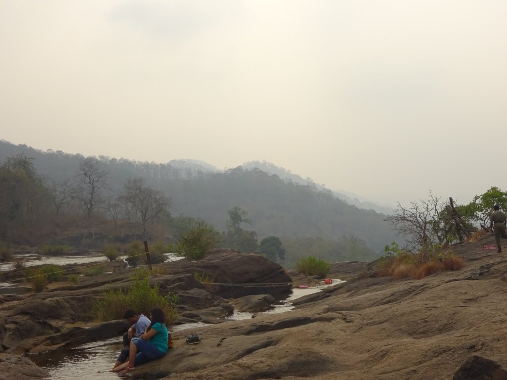
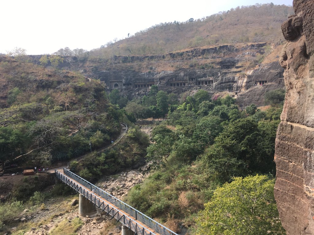
A great place to trek post monsoons-Ajanta Cave

How to Reach Ajanta/Ellora Caves :

Road Routes:

Mumbai/Pune-Shirur-Ahmednagar-Aurangabad(also Nashik-Kopargaon route is possible)-Ellora Caves-Bibi ka Mukbara-100 km-Ajanta Caves,

Sleeping Buddha,Ellora Caves

IMPORTANT NOTE FROM MY EXPERIENCE:

1) To see caves and forests around, avoid the rainy season, come here after September month.

2)Have two days in hand to see these caves. These caves are spread over a vast area in huge numbers. Plus, Ajanta Caves is approximately 4 hr drive from Aurangabad. So start early by 6 am, reach before 10 am, give 4-5 hours in cave sightseeing, and then return.

3)You can get a shared bus for under INR 50 within the cave region to take you to the cave site-do. Take that! You’ll already walk so much in the caves area-don’t unnecessarily burn your energy out!

4) Don’t miss the mini Taj Mahal-Bibi ka Muqbara in Aurangabad-superb in ambiance and architecture.

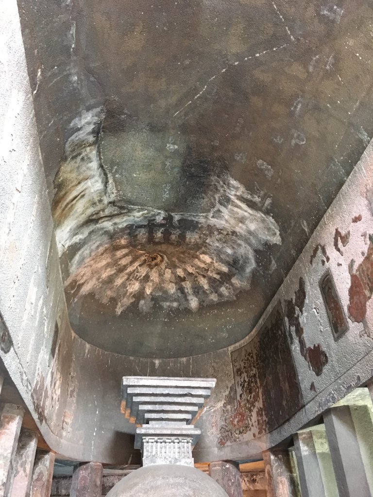
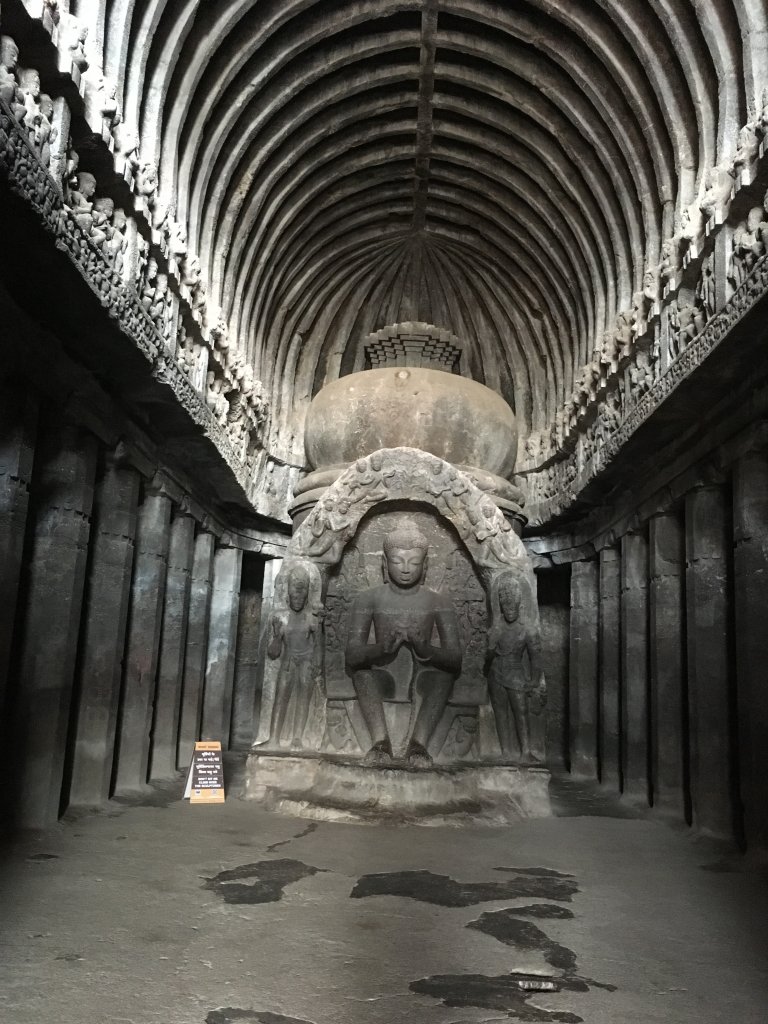
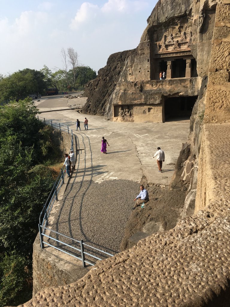
Dome shaped structures are hallmark of Ellora-Ajanta Caves

RAIL: Aurangabad/Jalgaon railway stations are the nearest ones.

AIR: Aurangabad has its own airport .

ROAD: Aurangabad is well connected to cities like Nagpur, Pune, Mumbai, and Nashik, and roads are pretty good with more minor portions of bad patches. MSRTC buses ply quite in number-that shall be of immense help.

Map:

Mumbai-Pune to Ajanta-Ellora Caves Map

Time to Visit:

October to March is an excellent time to be here.

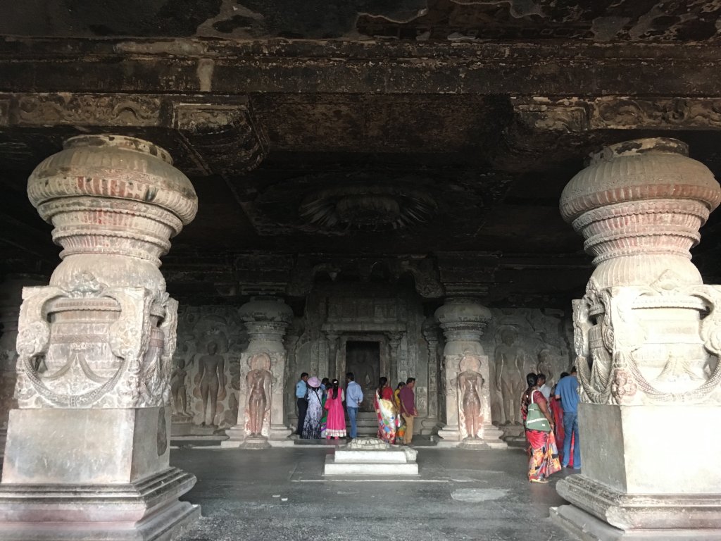
The Ellora Caves-Interiors

Spend Time With:

Friends, Groups, Couple, Family

Food and Lodging:

Hotels are mainly in Aurangabad at reasonable prices-any. Booking won’t be required as such. This will be the focal point around which the tour will happen. Food options are pretty much out there, but when you go out on the trip to caves, have a bottle of water and some snacks with you!

Expense:

A 2 day trip to Ajanta and Ellora Caves:

Ellora Caves
Ellora Caves

Food: INR 100/person/day(3 times a day)X2

Transport: INR 350 for all the three places-Bibi ka Mukbara by shared auto; Ajanta Ellora caves by state transport

Lodging: INR 600/day X2 

Entry Fees: INR 150, including camera charges(not mobile phones)

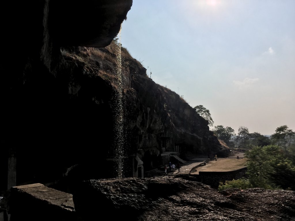
A mini waterfall -Ellora

Total: 2300 INR

Nearby Attractions(Aurangabad)

  • Ajanta Caves(100 km)
  • Ellora Caves(30 km)
  • Mumbai(340 km)
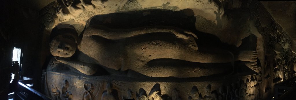
Ajanta and Ellora-the mark of Buddhism
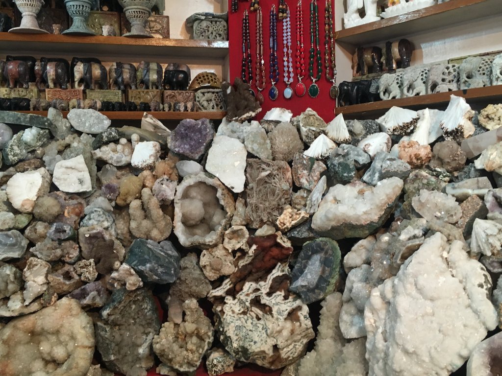
Various type of stones are found in Cave region